-
set of 4 political maps of Portugal with regions isolated on white background
Do ulubionych favorite_border
Usuń z ulubionych favorite
-
Warsaw map. Detailed map of Warsaw city poster with streets, water.
Do ulubionych favorite_border
Usuń z ulubionych favorite
-
Cropped image of woman's hand pointing on mark on cartography planning adventure route on journey, top view of map of country checking direction and location for explore during travel vacation.
Do ulubionych favorite_border
Usuń z ulubionych favorite
-
Do ulubionych favorite_border
Usuń z ulubionych favorite
-
Blue world map illustration on a transparent background
Do ulubionych favorite_border
Usuń z ulubionych favorite
-
Blue vintage world map illustration based on image furnished by NASA
Do ulubionych favorite_border
Usuń z ulubionych favorite
-
Monochrome city map with road network of Munich
Do ulubionych favorite_border
Usuń z ulubionych favorite
-
Presentation design vector templates, multipurpose template for presentation slide, flyer, brochure cover design, report presentation. World map concept backgrounds with world map infographic elements
Do ulubionych favorite_border
Usuń z ulubionych favorite
-
Map of Europe Point scales on dark background with Map World. Wire frame 3D mesh polygonal network line, design sphere, dot and structure. Vector illustration eps 10.
Do ulubionych favorite_border
Usuń z ulubionych favorite
-
land location icon. Vector dimension area size icon and map pin
Do ulubionych favorite_border
Usuń z ulubionych favorite
-
Geolocation icons set. Outline Icon Collection. Editable stroke. Vector illustration
Do ulubionych favorite_border
Usuń z ulubionych favorite
-
Do ulubionych favorite_border
Usuń z ulubionych favorite
-
Poland Political Map Isolated on white
Do ulubionych favorite_border
Usuń z ulubionych favorite
-
United States of America map. USA map with and without states isolated – stock vector
Do ulubionych favorite_border
Usuń z ulubionych favorite
-
Aerial view City map Berlin, color detailed plan, urban grid in perspective
Do ulubionych favorite_border
Usuń z ulubionych favorite
-
Topographic pattern texture vector Set. Grey contours vector topography. Geographic mountain topography vector illustration. Map on land vector terrain. Elevation graphic contour height lines.
Do ulubionych favorite_border
Usuń z ulubionych favorite
-
Vector modern illustration in grey color. Simplified european political map with Spain in the center. White background and outlines. Borders with Portugal, France, Andorra.
Do ulubionych favorite_border
Usuń z ulubionych favorite
-
Dotted Poland map. Vector geographic map on white and blue backgrounds. Vector mosaic of Poland map made with sphere dots.
Do ulubionych favorite_border
Usuń z ulubionych favorite
-
Do ulubionych favorite_border
Usuń z ulubionych favorite
-
City map street road Urban planning concept Black texture background
Do ulubionych favorite_border
Usuń z ulubionych favorite
-
vector map flag of Brazil isolated on white background
Do ulubionych favorite_border
Usuń z ulubionych favorite
-
Cartoon pictures of world map on white background. All countries of the world in different colors. Can use for printing, website, presentation element, textile. Vector illustration.
Do ulubionych favorite_border
Usuń z ulubionych favorite
-
Polygon world map with blockchain technology peer to peer network on blue background. Network, p2p business, e-commerce, bitcoin trading and global cryptocurrency blockchain business banner concept.
Do ulubionych favorite_border
Usuń z ulubionych favorite
-
Do ulubionych favorite_border
Usuń z ulubionych favorite
-
red pin point. map address location pointer symbol
Do ulubionych favorite_border
Usuń z ulubionych favorite
-
Do ulubionych favorite_border
Usuń z ulubionych favorite
-
Monochrome city map with road network of London
Do ulubionych favorite_border
Usuń z ulubionych favorite
-
Vector map of Poland with voivodeships and main cities on white. All elements are separated in editable layers clearly labeled.
Do ulubionych favorite_border
Usuń z ulubionych favorite
-
Simple (only sharp corners) map of China vector drawing. Filled and outline version
Do ulubionych favorite_border
Usuń z ulubionych favorite
-
Location pin map line icon set. Compass, map, distance, direction minimal vector illustration.
Do ulubionych favorite_border
Usuń z ulubionych favorite
-
Vector color map of administrative divisions of Poland
Do ulubionych favorite_border
Usuń z ulubionych favorite
-
Europe detailed map with name
Do ulubionych favorite_border
Usuń z ulubionych favorite
-
World Map - Pacific View - Physical Topographic - Vector Detailed Illustration
Do ulubionych favorite_border
Usuń z ulubionych favorite
-
Poland blue map big data visualization. Futuristic map infographic. Information aesthetics. Visual data complexity. Complex Poland data graphic visualization. 3d render illustration
Do ulubionych favorite_border
Usuń z ulubionych favorite
-
Colorful USA map with states. Vector illustration
Do ulubionych favorite_border
Usuń z ulubionych favorite
-
Detailed map of the Asia-Pacific region, highlighting countries
Do ulubionych favorite_border
Usuń z ulubionych favorite
-
World single states political map with national borders. Each country area with its own color. Illustration on white background under Robinson projection. English labeling.
Do ulubionych favorite_border
Usuń z ulubionych favorite
-
Abstract city map banner.
Do ulubionych favorite_border
Usuń z ulubionych favorite
-
Vector Light World Map With Infographic Pointer Marks, Communication Concept Chart
Do ulubionych favorite_border
Usuń z ulubionych favorite
-
Contorno del mapa mundial en línea con fondo blanco
Do ulubionych favorite_border
Usuń z ulubionych favorite
-
world map silhouete on old paper surface
Do ulubionych favorite_border
Usuń z ulubionych favorite
-
Map of Guatemala with round vignette. Selective focus on label, close-up view
Do ulubionych favorite_border
Usuń z ulubionych favorite
-
Europe political map flag 3D vector individual states separate
Do ulubionych favorite_border
Usuń z ulubionych favorite
-
Detailed global world map, with borders and names of countries, seas and oceans, vector illustration
Do ulubionych favorite_border
Usuń z ulubionych favorite
-
Pin set with shadow isolated on transparent background. Vector 3d red plastic pushpins, sewing needles or board tacks for paper notice
Do ulubionych favorite_border
Usuń z ulubionych favorite
-
World map vector abstract illustration pattern
Do ulubionych favorite_border
Usuń z ulubionych favorite
-
Vintage world map illustration
Do ulubionych favorite_border
Usuń z ulubionych favorite
-
Spain Map Black Spanish Border State Country Transparent Isolated Variations
Do ulubionych favorite_border
Usuń z ulubionych favorite
-
Germany map icon. Germany country icons collection. German map isolated signs. Vector elements
Do ulubionych favorite_border
Usuń z ulubionych favorite
-
North America map templates. USA, Canada and Mexico map isolated on white background. North America maps set. Vector illustration
Do ulubionych favorite_border
Usuń z ulubionych favorite
-
Political blank World Map vector illustration isolated on white background. Editable and clearly labeled layers.
Do ulubionych favorite_border
Usuń z ulubionych favorite
-
Map icon set. Containing location, maps, GPS, navigation, city map, atlas, route, direction, pin and more. Vector solid icons collection.
Do ulubionych favorite_border
Usuń z ulubionych favorite
-
Berlin city map poster. Detailed map of Berlin (Germany). Transport system of the city. Includes properly grouped map features (water objects, railroads, roads etc).
Do ulubionych favorite_border
Usuń z ulubionych favorite
-
World map. High detailed political map of World with country, capital, ocean and sea names labeling
Do ulubionych favorite_border
Usuń z ulubionych favorite
-
Set of transparent globes of Earth. Realistic world map in globe shape with transparent texture and shadow
Do ulubionych favorite_border
Usuń z ulubionych favorite
-
Collection of red map pin icons and location markers on a white background
Do ulubionych favorite_border
Usuń z ulubionych favorite
-
World map in satellite photo, Earth flat view from space. Elements of this image furnished by NASA.
Do ulubionych favorite_border
Usuń z ulubionych favorite
-
GPS navigator pin blue color mock up wite map on white background
Do ulubionych favorite_border
Usuń z ulubionych favorite
-
Map pointers icon set. Location icons or geolocations. Vector design element set. Pointer icon pin on the map with space for text. Vector illustration
Do ulubionych favorite_border
Usuń z ulubionych favorite
-
Routes with blue pins on a city map. Concept on the adventure, discovery, navigation, communication, logistics, geography, transport and travel topics.
Do ulubionych favorite_border
Usuń z ulubionych favorite
-
set of 4 political maps of Japan with regions isolated on white background
Do ulubionych favorite_border
Usuń z ulubionych favorite
-
Road Map With Navigation Icons
Do ulubionych favorite_border
Usuń z ulubionych favorite
-
Destinations. Gps tracking map. Track navigation pins on street maps, navigate mapping technology and locate position pin. Futuristic travel gps map or location navigator vector illustration
Do ulubionych favorite_border
Usuń z ulubionych favorite
-
Polygonal world map vector simplified to triangular lines with stars on blue background.
Do ulubionych favorite_border
Usuń z ulubionych favorite
-
Do ulubionych favorite_border
Usuń z ulubionych favorite
-
Spain Map with provinces grey
Do ulubionych favorite_border
Usuń z ulubionych favorite
-
Map of Portugal with Azores and Madeira. High detailed vector outline, blue silhouette and administrative divisions map of Portugal. All isolated on white background
Do ulubionych favorite_border
Usuń z ulubionych favorite
-
Medieval fantasy map. Mountain river and village buildings. Middle Ages map for board game. Hand drawn vector.
Do ulubionych favorite_border
Usuń z ulubionych favorite
-
Europa Infografika z flagami państw
Do ulubionych favorite_border
Usuń z ulubionych favorite
-
A sleek set of navigation icons in minimalist line style with editable strokes, designed for seamless integration into maps, mobile apps, dashboards, and location-based interfaces.
Do ulubionych favorite_border
Usuń z ulubionych favorite
-
Funny cartoon world map with traditional animals of all the continents and oceans. Vector illustration for preschool education and kids design
Do ulubionych favorite_border
Usuń z ulubionych favorite
-
Topographic map. Topographical background. Linear graphics. Vector illustration.
Do ulubionych favorite_border
Usuń z ulubionych favorite
-
Do ulubionych favorite_border
Usuń z ulubionych favorite
-
Brazil map in gray on a white background
Do ulubionych favorite_border
Usuń z ulubionych favorite
-
Old Antique World Map on Mercators Projection
Do ulubionych favorite_border
Usuń z ulubionych favorite
-
Abstract topographic map background. Topo backdrop lines, contour, geographic grid
Do ulubionych favorite_border
Usuń z ulubionych favorite
-
Vector isolated illustration of simplified administrative map of Mexico (United Mexican States). Borders of the provinces (regions). Grey silhouettes. White outline
Do ulubionych favorite_border
Usuń z ulubionych favorite
-
Europe 3d map of europe Template for your design
Do ulubionych favorite_border
Usuń z ulubionych favorite
-
Cute town map for kid's room. Hand drawn vector illustration. Nursery concept for bedding, poster
Do ulubionych favorite_border
Usuń z ulubionych favorite
-
Do ulubionych favorite_border
Usuń z ulubionych favorite
-
set of 3 maps of Belgium - vector illustrations
Do ulubionych favorite_border
Usuń z ulubionych favorite
-
mapa Polski flaga wyprodukowano w polsce PRODUKT POLSKI made in poland znak ikona symbol na opakowania
Do ulubionych favorite_border
Usuń z ulubionych favorite
-
Navigation map and geolocation, GPS positioning. Coordinate grid quadrants, cardinal points, location finder. Travel route and waypoints planning. Thin line web icons set. Vector illustration
Do ulubionych favorite_border
Usuń z ulubionych favorite
-
3D Rendering red GPS pinpoint of destination on the map, for navigator and route for travel concept, select focus shallow depth of field
Do ulubionych favorite_border
Usuń z ulubionych favorite
-
south america on white background vector EPS10
Do ulubionych favorite_border
Usuń z ulubionych favorite
-
Black and white graphic city map texture in stripes
Do ulubionych favorite_border
Usuń z ulubionych favorite
-
World Map - highly detailed vector illustration.
Do ulubionych favorite_border
Usuń z ulubionych favorite
-
Travel concept on wooden background
Do ulubionych favorite_border
Usuń z ulubionych favorite
-
Global network connection. World map point and line composition concept of global business. Vector Illustration
Do ulubionych favorite_border
Usuń z ulubionych favorite
-
Holographic World Map With Locations Over Blue Background, Panorama, Collage
Do ulubionych favorite_border
Usuń z ulubionych favorite
-
Do ulubionych favorite_border
Usuń z ulubionych favorite
-
World map with Highlighted Country Borders Vector Illustration
Do ulubionych favorite_border
Usuń z ulubionych favorite
-
World map divided into six continents. Each continent in different color. Simple flat vector illustration.
Do ulubionych favorite_border
Usuń z ulubionych favorite
-
Do ulubionych favorite_border
Usuń z ulubionych favorite
-
Location pin icon. Map pin place marker. Location icon. Map marker pointer icon set. GPS location symbol collection. Flat style - stock vector.
Do ulubionych favorite_border
Usuń z ulubionych favorite
-
Abstract black blank silhouette of world map isolated on white background. Vector illustration
Do ulubionych favorite_border
Usuń z ulubionych favorite
-
Do ulubionych favorite_border
Usuń z ulubionych favorite
-
Do ulubionych favorite_border
Usuń z ulubionych favorite
-
Do ulubionych favorite_border
Usuń z ulubionych favorite
-
Asia vector map southeast country, Asian east continent icon silhouette china malaysia japan
Do ulubionych favorite_border
Usuń z ulubionych favorite
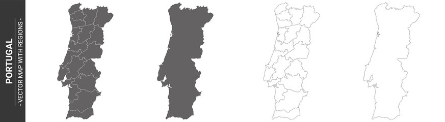 set of 4 political maps of Portugal with regions isolated on white backgroundfavorite_border favorite
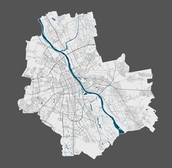 Warsaw map. Detailed map of Warsaw city poster with streets, water.favorite_border favorite
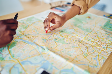 Cropped image of woman's hand pointing on mark on cartography planning adventure route on journey, top view of map of country checking direction and location for explore during travel vacation.favorite_border favorite
 europa in blaufavorite_border favorite
 Blue world map illustration on a transparent backgroundfavorite_border favorite
 Blue vintage world map illustration based on image furnished by NASAfavorite_border favorite
 Monochrome city map with road network of Munichfavorite_border favorite
 Presentation design vector templates, multipurpose template for presentation slide, flyer, brochure cover design, report presentation. World map concept backgrounds with world map infographic elementsfavorite_border favorite
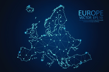 Map of Europe Point scales on dark background with Map World. Wire frame 3D mesh polygonal network line, design sphere, dot and structure. Vector illustration eps 10.favorite_border favorite
 land location icon. Vector dimension area size icon and map pinfavorite_border favorite
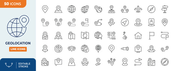 Geolocation icons set. Outline Icon Collection. Editable stroke. Vector illustrationfavorite_border favorite
 grey world mapfavorite_border favorite
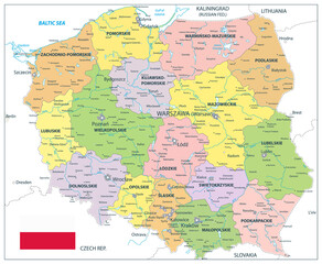 Poland Political Map Isolated on whitefavorite_border favorite
 United States of America map. USA map with and without states isolated – stock vectorfavorite_border favorite
 Aerial view City map Berlin, color detailed plan, urban grid in perspectivefavorite_border favorite
 Topographic pattern texture vector Set. Grey contours vector topography. Geographic mountain topography vector illustration. Map on land vector terrain. Elevation graphic contour height lines.favorite_border favorite
 Vector modern illustration in grey color. Simplified european political map with Spain in the center. White background and outlines. Borders with Portugal, France, Andorra.favorite_border favorite
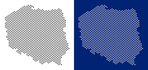 Dotted Poland map. Vector geographic map on white and blue backgrounds. Vector mosaic of Poland map made with sphere dots.favorite_border favorite
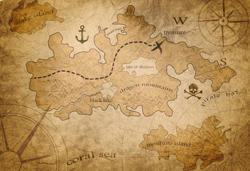 pirate treasure mapfavorite_border favorite
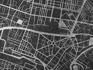 City map street road Urban planning concept Black texture backgroundfavorite_border favorite
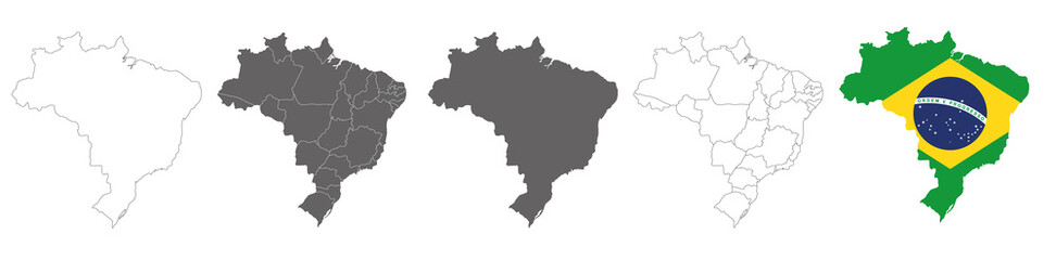 vector map flag of Brazil isolated on white backgroundfavorite_border favorite
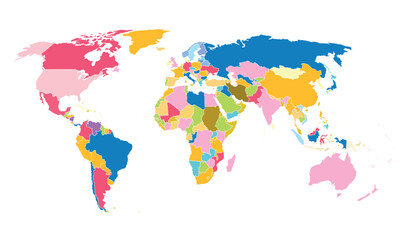 Cartoon pictures of world map on white background. All countries of the world in different colors. Can use for printing, website, presentation element, textile. Vector illustration.favorite_border favorite
 Polygon world map with blockchain technology peer to peer network on blue background. Network, p2p business, e-commerce, bitcoin trading and global cryptocurrency blockchain business banner concept.favorite_border favorite
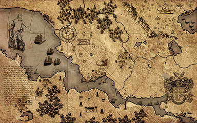 Old vintage fantasy mapfavorite_border favorite
 red pin point. map address location pointer symbolfavorite_border favorite
 Map of Warsawfavorite_border favorite
 Monochrome city map with road network of Londonfavorite_border favorite
 Vector map of Poland with voivodeships and main cities on white. All elements are separated in editable layers clearly labeled.favorite_border favorite
 Simple (only sharp corners) map of China vector drawing. Filled and outline versionfavorite_border favorite
 Location pin map line icon set. Compass, map, distance, direction minimal vector illustration.favorite_border favorite
 Vector color map of administrative divisions of Polandfavorite_border favorite
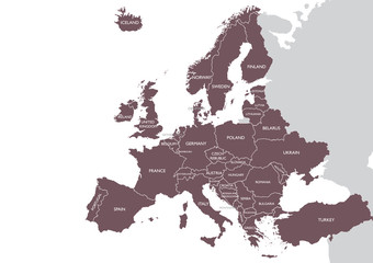 Europe detailed map with namefavorite_border favorite
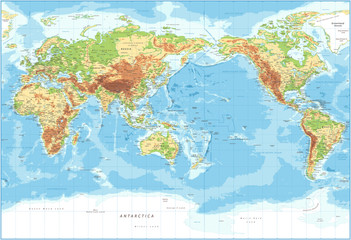 World Map - Pacific View - Physical Topographic - Vector Detailed Illustrationfavorite_border favorite
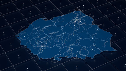 Poland blue map big data visualization. Futuristic map infographic. Information aesthetics. Visual data complexity. Complex Poland data graphic visualization. 3d render illustrationfavorite_border favorite
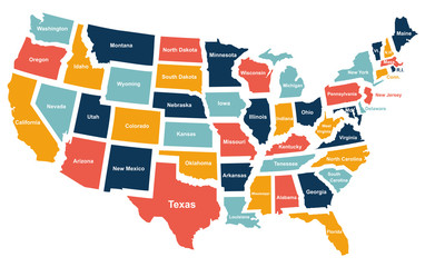 Colorful USA map with states. Vector illustrationfavorite_border favorite
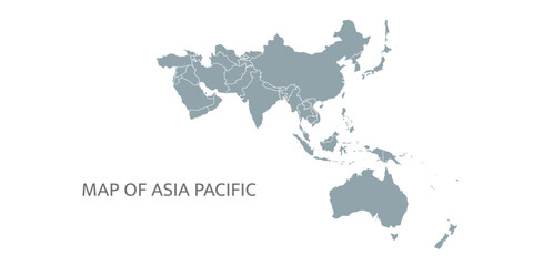 Detailed map of the Asia-Pacific region, highlighting countriesfavorite_border favorite
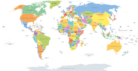 World single states political map with national borders. Each country area with its own color. Illustration on white background under Robinson projection. English labeling.favorite_border favorite
 Abstract city map banner.favorite_border favorite
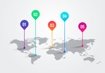 Vector Light World Map With Infographic Pointer Marks, Communication Concept Chartfavorite_border favorite
 Contorno del mapa mundial en línea con fondo blancofavorite_border favorite
 world map silhouete on old paper surfacefavorite_border favorite
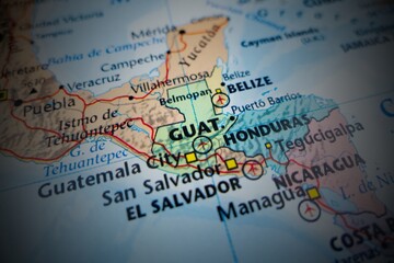 Map of Guatemala with round vignette. Selective focus on label, close-up viewfavorite_border favorite
 Europe political map flag 3D vector individual states separatefavorite_border favorite
 Detailed global world map, with borders and names of countries, seas and oceans, vector illustrationfavorite_border favorite
 Pin set with shadow isolated on transparent background. Vector 3d red plastic pushpins, sewing needles or board tacks for paper noticefavorite_border favorite
 World map vector abstract illustration patternfavorite_border favorite
 Vintage world map illustrationfavorite_border favorite
 Spain Map Black Spanish Border State Country Transparent Isolated Variationsfavorite_border favorite
 Germany map icon. Germany country icons collection. German map isolated signs. Vector elementsfavorite_border favorite
 North America map templates. USA, Canada and Mexico map isolated on white background. North America maps set. Vector illustrationfavorite_border favorite
 Political blank World Map vector illustration isolated on white background. Editable and clearly labeled layers.favorite_border favorite
 Map icon set. Containing location, maps, GPS, navigation, city map, atlas, route, direction, pin and more. Vector solid icons collection.favorite_border favorite
 Berlin city map poster. Detailed map of Berlin (Germany). Transport system of the city. Includes properly grouped map features (water objects, railroads, roads etc).favorite_border favorite
 World map. High detailed political map of World with country, capital, ocean and sea names labelingfavorite_border favorite
 Set of transparent globes of Earth. Realistic world map in globe shape with transparent texture and shadowfavorite_border favorite
 Collection of red map pin icons and location markers on a white backgroundfavorite_border favorite
 World map in satellite photo, Earth flat view from space. Elements of this image furnished by NASA.favorite_border favorite
 GPS navigator pin blue color mock up wite map on white backgroundfavorite_border favorite
 Map pointers icon set. Location icons or geolocations. Vector design element set. Pointer icon pin on the map with space for text. Vector illustrationfavorite_border favorite
 Routes with blue pins on a city map. Concept on the adventure, discovery, navigation, communication, logistics, geography, transport and travel topics.favorite_border favorite
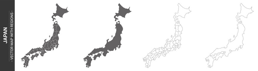 set of 4 political maps of Japan with regions isolated on white backgroundfavorite_border favorite
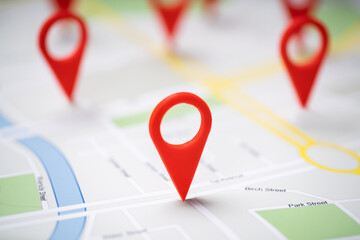 Road Map With Navigation Iconsfavorite_border favorite
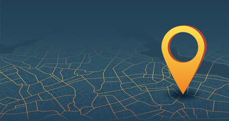 Destinations. Gps tracking map. Track navigation pins on street maps, navigate mapping technology and locate position pin. Futuristic travel gps map or location navigator vector illustrationfavorite_border favorite
 Polygonal world map vector simplified to triangular lines with stars on blue background.favorite_border favorite
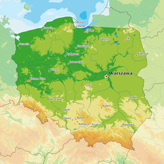 Poland physical mapfavorite_border favorite
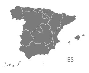 Spain Map with provinces greyfavorite_border favorite
 Map of Portugal with Azores and Madeira. High detailed vector outline, blue silhouette and administrative divisions map of Portugal. All isolated on white backgroundfavorite_border favorite
 Medieval fantasy map. Mountain river and village buildings. Middle Ages map for board game. Hand drawn vector.favorite_border favorite
 Europa Infografika z flagami państwfavorite_border favorite
 A sleek set of navigation icons in minimalist line style with editable strokes, designed for seamless integration into maps, mobile apps, dashboards, and location-based interfaces.favorite_border favorite
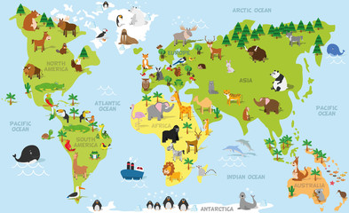 Funny cartoon world map with traditional animals of all the continents and oceans. Vector illustration for preschool education and kids designfavorite_border favorite
 Topographic map. Topographical background. Linear graphics. Vector illustration.favorite_border favorite
 World Vector Iconfavorite_border favorite
 Brazil map in gray on a white backgroundfavorite_border favorite
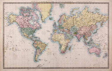 Old Antique World Map on Mercators Projectionfavorite_border favorite
 Abstract topographic map background. Topo backdrop lines, contour, geographic gridfavorite_border favorite
 Vector isolated illustration of simplified administrative map of Mexico (United Mexican States). Borders of the provinces (regions). Grey silhouettes. White outlinefavorite_border favorite
 Europe 3d map of europe Template for your designfavorite_border favorite
 Cute town map for kid's room. Hand drawn vector illustration. Nursery concept for bedding, posterfavorite_border favorite
 landkarte europa v2 iifavorite_border favorite
 set of 3 maps of Belgium - vector illustrationsfavorite_border favorite
 mapa Polski flaga wyprodukowano w polsce PRODUKT POLSKI made in poland znak ikona symbol na opakowaniafavorite_border favorite
 Navigation map and geolocation, GPS positioning. Coordinate grid quadrants, cardinal points, location finder. Travel route and waypoints planning. Thin line web icons set. Vector illustrationfavorite_border favorite
 3D Rendering red GPS pinpoint of destination on the map, for navigator and route for travel concept, select focus shallow depth of fieldfavorite_border favorite
 south america on white background vector EPS10favorite_border favorite
 Black and white graphic city map texture in stripesfavorite_border favorite
 World Map - highly detailed vector illustration.favorite_border favorite
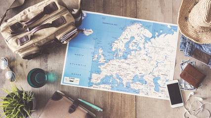 Travel concept on wooden backgroundfavorite_border favorite
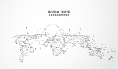 Global network connection. World map point and line composition concept of global business. Vector Illustrationfavorite_border favorite
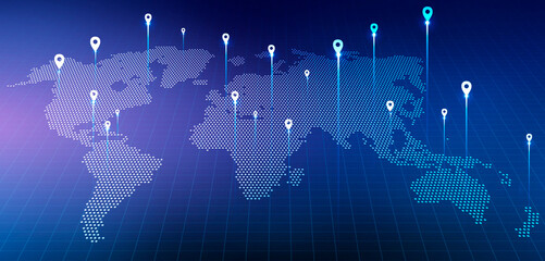 Holographic World Map With Locations Over Blue Background, Panorama, Collagefavorite_border favorite
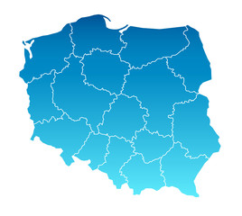 Karte Polenfavorite_border favorite
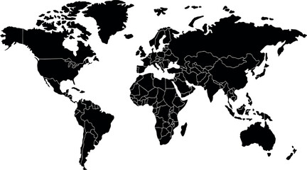 World map with Highlighted Country Borders Vector Illustrationfavorite_border favorite
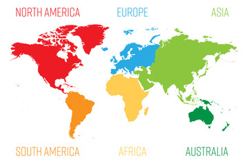 World map divided into six continents. Each continent in different color. Simple flat vector illustration.favorite_border favorite
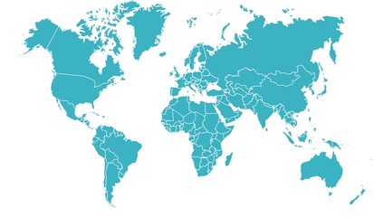 carte du monde 19062015favorite_border favorite
 Location pin icon. Map pin place marker. Location icon. Map marker pointer icon set. GPS location symbol collection. Flat style - stock vector.favorite_border favorite
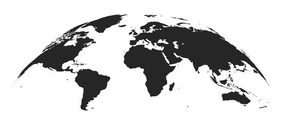 Abstract black blank silhouette of world map isolated on white background. Vector illustrationfavorite_border favorite
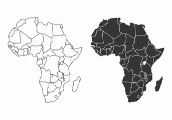 Maps of the Africafavorite_border favorite
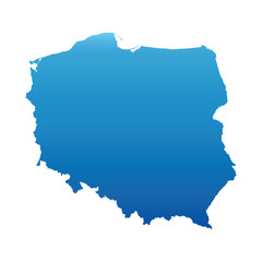 blue map of Polandfavorite_border favorite
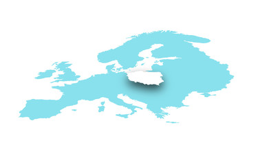 Polska na mapie europyfavorite_border favorite
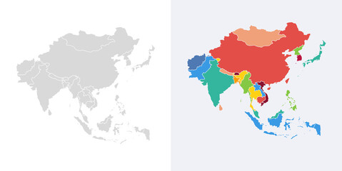 Asia vector map southeast country, Asian east continent icon silhouette china malaysia japanfavorite_border favorite