-
USA map. American map. United States of America map in flat and lines design
Do ulubionych favorite_border
Usuń z ulubionych favorite
-
political map of Mexico isolated on white background
Do ulubionych favorite_border
Usuń z ulubionych favorite
-
World map globe vector with grid lines latitude longitude continents earth sphere illustration design template for business technology presentation banner background
Do ulubionych favorite_border
Usuń z ulubionych favorite
-
Dna test infographic. Genome sequence map.
Do ulubionych favorite_border
Usuń z ulubionych favorite
-
Tree of Knowledge: Brains as Growing Trees with Roots
Do ulubionych favorite_border
Usuń z ulubionych favorite
-
A dotted world map illustration in grayscale with continental outlines
Do ulubionych favorite_border
Usuń z ulubionych favorite
-
location icon set map pointer pin sign symbol red black outline destination icon place address navigation locator sign vector illustration
Do ulubionych favorite_border
Usuń z ulubionych favorite
-
Vintage old map empty background. Blank treasure map on old paper texture backdrop
Do ulubionych favorite_border
Usuń z ulubionych favorite
-
Four variations of italy map silhouettes showing outline and regional borders in black and white
Do ulubionych favorite_border
Usuń z ulubionych favorite
-
World map vector states border geography continent global business travel flat graphic earth globe planet worldwide
Do ulubionych favorite_border
Usuń z ulubionych favorite
-
Simple (only sharp corners) map of Austria vector drawing. Mercator projection. Filled and outline version.
Do ulubionych favorite_border
Usuń z ulubionych favorite
-
Happy asian couple on vacation sightseeing city with map
Do ulubionych favorite_border
Usuń z ulubionych favorite
-
Abstract topographic map of a mountain range rendered with flowing contour lines on a dark background.
Do ulubionych favorite_border
Usuń z ulubionych favorite
-
Map location pin icon vector design illustration marker pointer symbol GPS navigation button label place sign travel internet business mark set 3D point
Do ulubionych favorite_border
Usuń z ulubionych favorite
-
map of bolivia set bundle . black silhouette. flat. laser cut. circuit vinyl cut. commercial use
Do ulubionych favorite_border
Usuń z ulubionych favorite
-
Stylized world map featuring black continent silhouettes on a clean isolated white background, perfect for international themes.
Do ulubionych favorite_border
Usuń z ulubionych favorite
-
Asia map with countries, vector illustration of the asian continent outline in different styles and colors on a transparent background
Do ulubionych favorite_border
Usuń z ulubionych favorite
-
A generic city map banner
Do ulubionych favorite_border
Usuń z ulubionych favorite
-
Dotted world map with digital grid pattern representing global network data
Do ulubionych favorite_border
Usuń z ulubionych favorite
-
Map of North Carolina state, grey colour
Do ulubionych favorite_border
Usuń z ulubionych favorite
-
Detailed map of Central Europe showing Germany, Austria, Switzerland, and Czech Republic
Do ulubionych favorite_border
Usuń z ulubionych favorite
-
vector illustration of gray colored world map
Do ulubionych favorite_border
Usuń z ulubionych favorite
-
Poland Detail Administrative Map and roads
Do ulubionych favorite_border
Usuń z ulubionych favorite
-
Contour mountain landscape. Waved line art. Abstract minimal topographic map. Contour lines with elevations and terrain depth. Vector illustration.
Do ulubionych favorite_border
Usuń z ulubionych favorite
-
Australia map icon design pack in black colour. icon drawings
Do ulubionych favorite_border
Usuń z ulubionych favorite
-
Green watercolor tree canopy top view collection for landscape architecture, garden planning, environmental mapping and botanical forest elements isolated on white background
Do ulubionych favorite_border
Usuń z ulubionych favorite
-
Do ulubionych favorite_border
Usuń z ulubionych favorite
-
Europe maps with regions isolated on a white background. Europe countries maps set. Map of Europe. Vector illustration
Do ulubionych favorite_border
Usuń z ulubionych favorite
-
world Compass Isolated Vector icon which can easily modify or edit
Do ulubionych favorite_border
Usuń z ulubionych favorite
-
Map of Europe with EU member states highlighted in blue and yellow
Do ulubionych favorite_border
Usuń z ulubionych favorite
-
Red Location Pin Drop Flat 2D Vector Icon
Do ulubionych favorite_border
Usuń z ulubionych favorite
-
Agent person using laptop analyzing InsurTech claims on a virtual screen with risk graphs. A world map displays policy coverage. Modernizing global insurance through digital data solutions.
Do ulubionych favorite_border
Usuń z ulubionych favorite
-
Vector illustration of the map of the state of São Paulo.
Do ulubionych favorite_border
Usuń z ulubionych favorite
-
Do ulubionych favorite_border
Usuń z ulubionych favorite
-
Würzburg City Map Outline - Schematic Overview of German Town and River Main
Do ulubionych favorite_border
Usuń z ulubionych favorite
-
Flat nature landscape elements, 20 vector icons of grass tufts and water puddles, green foliage and mud patches for map design
Do ulubionych favorite_border
Usuń z ulubionych favorite
-
A drone hovering mid-air against a clear blue sky, equipped with a forward-facing camera and propeller guards, with green treetops in the background
Do ulubionych favorite_border
Usuń z ulubionych favorite
-
Flat icon set of location and map pins
Do ulubionych favorite_border
Usuń z ulubionych favorite
-
North Carolina Map Outline with County Borders - Blank Vector Illustration
Do ulubionych favorite_border
Usuń z ulubionych favorite
-
Green map of the world continents.
Do ulubionych favorite_border
Usuń z ulubionych favorite
-
Europe and england map vector with country boundaries detailed political regions and editable geography layout
Do ulubionych favorite_border
Usuń z ulubionych favorite
-
Countries of the world, multi colored political map, with international borders, main oceans, largest lakes and seas. Cylindrical projection. English labeling. Isolated illustration over white. Vector
Do ulubionych favorite_border
Usuń z ulubionych favorite
-
World map dotted vector illustration
Do ulubionych favorite_border
Usuń z ulubionych favorite
-
Switzerland map outline, silhouette and flag isolated on white background
Do ulubionych favorite_border
Usuń z ulubionych favorite
-
street map of city, seamless map pattern of road
Do ulubionych favorite_border
Usuń z ulubionych favorite
-
Location pin icon. Minimal map marker vector for navigation apps. Geotag pointer marking place and position symbol. Clean destination point sign pictogram concept.
Do ulubionych favorite_border
Usuń z ulubionych favorite
-
Vector illustration of a world map in simple line design
Do ulubionych favorite_border
Usuń z ulubionych favorite
-
Global business and technology network with dotted world map
Do ulubionych favorite_border
Usuń z ulubionych favorite
-
Location icon collection with map pin, locator and navigation symbols for travel and mapping use.
Do ulubionych favorite_border
Usuń z ulubionych favorite
-
World map with highlighted continents and countries in grayscale
Do ulubionych favorite_border
Usuń z ulubionych favorite
-
Military-style topographic map with contour lines, elevation data, and coordinates. Ideal for war strategy visuals, navigation design, and tactical planning interfaces. Battlefield top view green UI.
Do ulubionych favorite_border
Usuń z ulubionych favorite
-
Papua New Guinea map silhouette and outline country
Do ulubionych favorite_border
Usuń z ulubionych favorite
-
Australia map icon design project. Editable clipart and line icons
Do ulubionych favorite_border
Usuń z ulubionych favorite
-
Historic rome city map with landmarks and artistic street layout
Do ulubionych favorite_border
Usuń z ulubionych favorite
-
A simple dark icon representing a navigation point on a digital map interface
Do ulubionych favorite_border
Usuń z ulubionych favorite
-
Equirectangular projection world map grey fill white borders without Antarctica global vector graphic geography silhouette shape national border design isolated transparent background atlas eps
Do ulubionych favorite_border
Usuń z ulubionych favorite
-
Netherlands map vector. High detailed vector outline, blue silhouette and administrative divisions map of Netherlands. All isolated on white background. Vector illustratin
Do ulubionych favorite_border
Usuń z ulubionych favorite
-
Mapa Polski z województwami na białym tle. Zarys mapy Polski. Ilustracja wektorowa
Do ulubionych favorite_border
Usuń z ulubionych favorite
-
city map with Pin Pointers 3d rendering image
Do ulubionych favorite_border
Usuń z ulubionych favorite
-
European Union political map. EU flag. Europe map isolated on a white background. Vector illustration
Do ulubionych favorite_border
Usuń z ulubionych favorite
-
Greece black map on white background vector
Do ulubionych favorite_border
Usuń z ulubionych favorite
-
The world, gray political map with international country borders, continents, main oceans, and largest lakes, in a cylindrical projection. English labeling. Isolated illustration over white. Vector
Do ulubionych favorite_border
Usuń z ulubionych favorite
-
Travel the world monument concept
Do ulubionych favorite_border
Usuń z ulubionych favorite
-
Ancient pirate map of the Caribbean Sea with ships, islands and fantasy creatures. Pirate adventures, treasure hunt and old transportation concept. Hand drawn vector illustration, vintage background
Do ulubionych favorite_border
Usuń z ulubionych favorite
-
Do ulubionych favorite_border
Usuń z ulubionych favorite
-
Spain map set of grey color
Do ulubionych favorite_border
Usuń z ulubionych favorite
-
Set of Globe Illustration Vector of 5 Continents : Europe America Australia Asia Africa. World map vector illustration black silhouette bundle
Do ulubionych favorite_border
Usuń z ulubionych favorite
-
Territory of Luxembourg on Europe map on a white background
Do ulubionych favorite_border
Usuń z ulubionych favorite
-
Minimalist 3D city map with GPS navigation route and destination pins. Abstract urban landscape blue tones, showing a planned travel path across river. Travel concepts. Vector illustration
Do ulubionych favorite_border
Usuń z ulubionych favorite
-
United States of American Map
Do ulubionych favorite_border
Usuń z ulubionych favorite
-
Krakow map vector poster flyer
Do ulubionych favorite_border
Usuń z ulubionych favorite
-
World map with marked countries, capital, border. high quality world map vector.
Do ulubionych favorite_border
Usuń z ulubionych favorite
-
Dotted style map of USA and white background
Do ulubionych favorite_border
Usuń z ulubionych favorite
-
Brazil country vector map in white background.Brazil political map. Low detailed. Solid simple style. Black and white. Vector editable.
Do ulubionych favorite_border
Usuń z ulubionych favorite
-
Cracow city map with roads and streets, Poland. Vector outline illustration.
Do ulubionych favorite_border
Usuń z ulubionych favorite
-
Do ulubionych favorite_border
Usuń z ulubionych favorite
-
Large (97 MP) isolated satellite image of Africa. African continent from space. Detailed imagery / map of Africa in orthographic projection. Elements of this image furnished by NASA.
Do ulubionych favorite_border
Usuń z ulubionych favorite
-
Do ulubionych favorite_border
Usuń z ulubionych favorite
-
GPS Map to Route Destination network connection Location Street Map with GPS Icons Navigation
Do ulubionych favorite_border
Usuń z ulubionych favorite
-
Do ulubionych favorite_border
Usuń z ulubionych favorite
-
Mapa azul de la Unión Europea en fondo blanco.
Do ulubionych favorite_border
Usuń z ulubionych favorite
-
United States of America, gray political map. Fifty single states with their own geographic territories and borders, bound together in a union and federal government. Labeled with USPS abbreviations.
Do ulubionych favorite_border
Usuń z ulubionych favorite
-
A world map background made of circles or dot shapes
Do ulubionych favorite_border
Usuń z ulubionych favorite
-
Do ulubionych favorite_border
Usuń z ulubionych favorite
-
Abstract world map. Black outline silhouette on white background. Flat vector illustration. Background with Earth.
Do ulubionych favorite_border
Usuń z ulubionych favorite
-
Map of the united kingdom
Do ulubionych favorite_border
Usuń z ulubionych favorite
-
Do ulubionych favorite_border
Usuń z ulubionych favorite
-
Dotted map of World. Small black dots on white background
Do ulubionych favorite_border
Usuń z ulubionych favorite
-
Blue city area, background map, streets. Skyline urban panorama. Cartography illustration. Widescreen proportion, digital flat design streetmap. Vector City top view. View from above the map
Do ulubionych favorite_border
Usuń z ulubionych favorite
-
World map with pointer marks
Do ulubionych favorite_border
Usuń z ulubionych favorite
-
3d Brazil white map with regions isolated
Do ulubionych favorite_border
Usuń z ulubionych favorite
-
Isolated Continental Vector World Map.
Do ulubionych favorite_border
Usuń z ulubionych favorite
-
3D Render of Red Pin on the Map on Mobile Phone Screen
Do ulubionych favorite_border
Usuń z ulubionych favorite
-
Blank map Brazil. High quality map Brazil with provinces on transparent background for your web site design, logo, app, UI. Stock vector. Vector illustration EPS10.
Do ulubionych favorite_border
Usuń z ulubionych favorite
-
Black red blue yellow location pin symbols with concentric circles map marker pointer
Do ulubionych favorite_border
Usuń z ulubionych favorite
-
Location map pin icon collection isolated on white background.
Do ulubionych favorite_border
Usuń z ulubionych favorite
-
City map navigation interface. GPS navigator vector screen, street roads and location background. City map screen interface with road destination pin, compass and traffic route direction arrows
Do ulubionych favorite_border
Usuń z ulubionych favorite
-
Do ulubionych favorite_border
Usuń z ulubionych favorite
-
Do ulubionych favorite_border
Usuń z ulubionych favorite
-
map of argentina on transparent background
Do ulubionych favorite_border
Usuń z ulubionych favorite
 USA map. American map. United States of America map in flat and lines designfavorite_border favorite
 political map of Mexico isolated on white backgroundfavorite_border favorite
 World map globe vector with grid lines latitude longitude continents earth sphere illustration design template for business technology presentation banner backgroundfavorite_border favorite
 Dna test infographic. Genome sequence map.favorite_border favorite
 Tree of Knowledge: Brains as Growing Trees with Rootsfavorite_border favorite
 A dotted world map illustration in grayscale with continental outlinesfavorite_border favorite
 location icon set map pointer pin sign symbol red black outline destination icon place address navigation locator sign vector illustrationfavorite_border favorite
 Vintage old map empty background. Blank treasure map on old paper texture backdropfavorite_border favorite
 Four variations of italy map silhouettes showing outline and regional borders in black and whitefavorite_border favorite
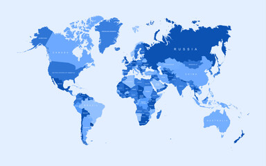 World map vector states border geography continent global business travel flat graphic earth globe planet worldwidefavorite_border favorite
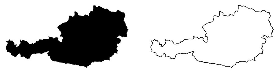 Simple (only sharp corners) map of Austria vector drawing. Mercator projection. Filled and outline version.favorite_border favorite
 Happy asian couple on vacation sightseeing city with mapfavorite_border favorite
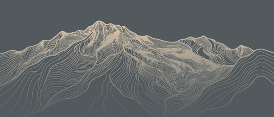 Abstract topographic map of a mountain range rendered with flowing contour lines on a dark background.favorite_border favorite
 Map location pin icon vector design illustration marker pointer symbol GPS navigation button label place sign travel internet business mark set 3D pointfavorite_border favorite
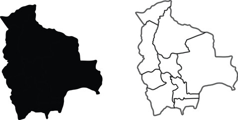 map of bolivia set bundle . black silhouette. flat. laser cut. circuit vinyl cut. commercial usefavorite_border favorite
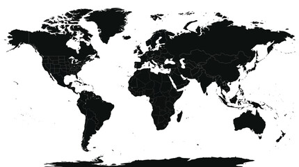 Stylized world map featuring black continent silhouettes on a clean isolated white background, perfect for international themes.favorite_border favorite
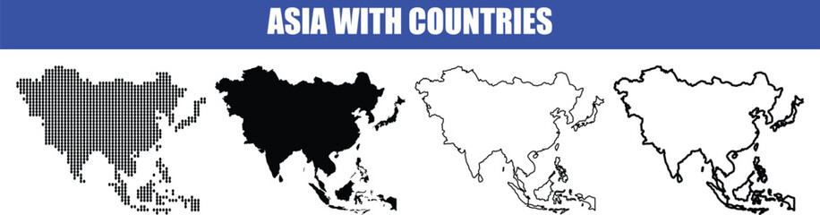 Asia map with countries, vector illustration of the asian continent outline in different styles and colors on a transparent backgroundfavorite_border favorite
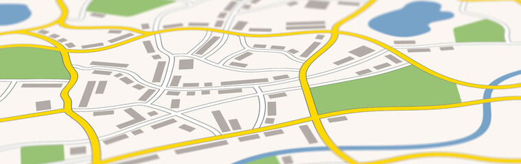 A generic city map bannerfavorite_border favorite
 Dotted world map with digital grid pattern representing global network datafavorite_border favorite
 Map of North Carolina state, grey colourfavorite_border favorite
 Detailed map of Central Europe showing Germany, Austria, Switzerland, and Czech Republicfavorite_border favorite
 vector illustration of gray colored world mapfavorite_border favorite
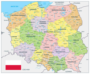 Poland Detail Administrative Map and roadsfavorite_border favorite
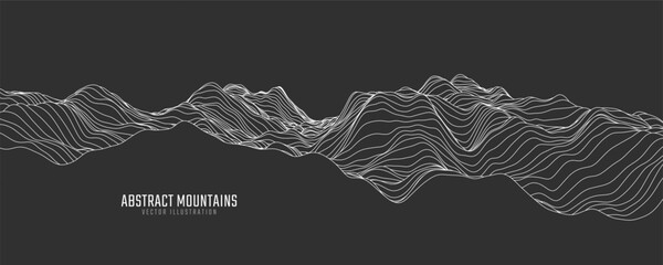 Contour mountain landscape. Waved line art. Abstract minimal topographic map. Contour lines with elevations and terrain depth. Vector illustration.favorite_border favorite
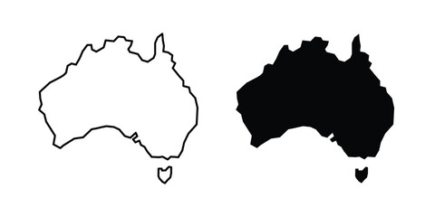 Australia map icon design pack in black colour. icon drawingsfavorite_border favorite
 Green watercolor tree canopy top view collection for landscape architecture, garden planning, environmental mapping and botanical forest elements isolated on white backgroundfavorite_border favorite
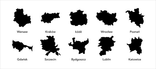 Poland city mapfavorite_border favorite
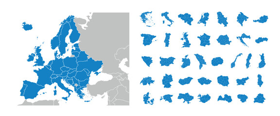 Europe maps with regions isolated on a white background. Europe countries maps set. Map of Europe. Vector illustrationfavorite_border favorite
 world Compass Isolated Vector icon which can easily modify or editfavorite_border favorite
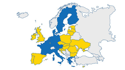 Map of Europe with EU member states highlighted in blue and yellowfavorite_border favorite
 Red Location Pin Drop Flat 2D Vector Iconfavorite_border favorite
 Agent person using laptop analyzing InsurTech claims on a virtual screen with risk graphs. A world map displays policy coverage. Modernizing global insurance through digital data solutions.favorite_border favorite
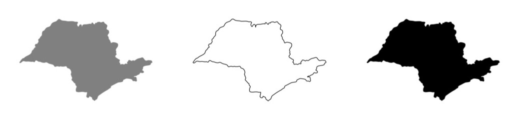 Vector illustration of the map of the state of São Paulo.favorite_border favorite
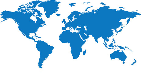 blue world mapfavorite_border favorite
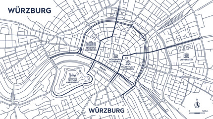 Würzburg City Map Outline - Schematic Overview of German Town and River Mainfavorite_border favorite
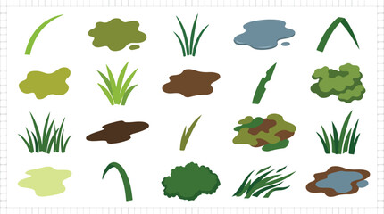 Flat nature landscape elements, 20 vector icons of grass tufts and water puddles, green foliage and mud patches for map designfavorite_border favorite
 A drone hovering mid-air against a clear blue sky, equipped with a forward-facing camera and propeller guards, with green treetops in the backgroundfavorite_border favorite
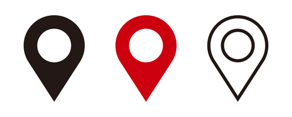 Flat icon set of location and map pinsfavorite_border favorite
 North Carolina Map Outline with County Borders - Blank Vector Illustrationfavorite_border favorite
 Green map of the world continents.favorite_border favorite
 Europe and england map vector with country boundaries detailed political regions and editable geography layoutfavorite_border favorite
 Countries of the world, multi colored political map, with international borders, main oceans, largest lakes and seas. Cylindrical projection. English labeling. Isolated illustration over white. Vectorfavorite_border favorite
 World map dotted vector illustrationfavorite_border favorite
 Switzerland map outline, silhouette and flag isolated on white backgroundfavorite_border favorite
 street map of city, seamless map pattern of roadfavorite_border favorite
 Location pin icon. Minimal map marker vector for navigation apps. Geotag pointer marking place and position symbol. Clean destination point sign pictogram concept.favorite_border favorite
 Vector illustration of a world map in simple line designfavorite_border favorite
 Global business and technology network with dotted world mapfavorite_border favorite
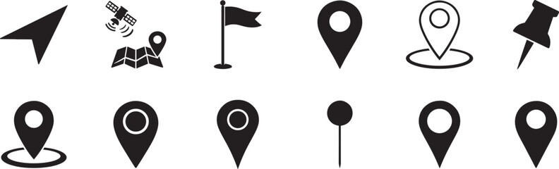 Location icon collection with map pin, locator and navigation symbols for travel and mapping use.favorite_border favorite
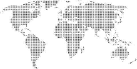 World map with highlighted continents and countries in grayscalefavorite_border favorite
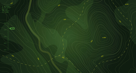 Military-style topographic map with contour lines, elevation data, and coordinates. Ideal for war strategy visuals, navigation design, and tactical planning interfaces. Battlefield top view green UI.favorite_border favorite
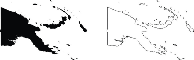 Papua New Guinea map silhouette and outline countryfavorite_border favorite
 Australia map icon design project. Editable clipart and line iconsfavorite_border favorite
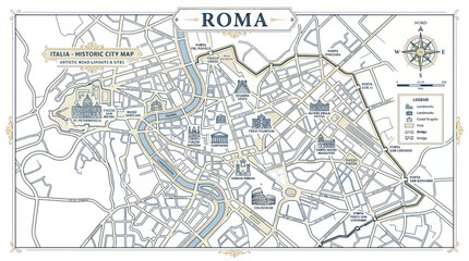 Historic rome city map with landmarks and artistic street layoutfavorite_border favorite
 A simple dark icon representing a navigation point on a digital map interfacefavorite_border favorite
 Equirectangular projection world map grey fill white borders without Antarctica global vector graphic geography silhouette shape national border design isolated transparent background atlas epsfavorite_border favorite
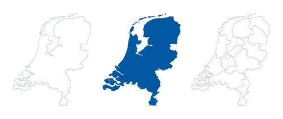 Netherlands map vector. High detailed vector outline, blue silhouette and administrative divisions map of Netherlands. All isolated on white background. Vector illustratinfavorite_border favorite
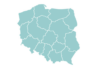 Mapa Polski z województwami na białym tle. Zarys mapy Polski. Ilustracja wektorowafavorite_border favorite
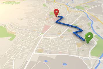 city map with Pin Pointers 3d rendering imagefavorite_border favorite
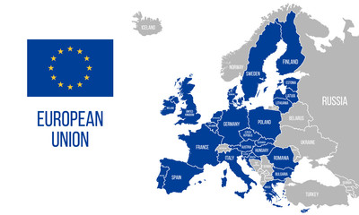 European Union political map. EU flag. Europe map isolated on a white background. Vector illustrationfavorite_border favorite
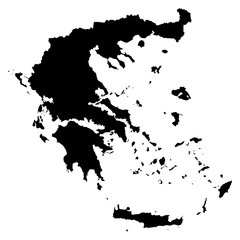 Greece black map on white background vectorfavorite_border favorite
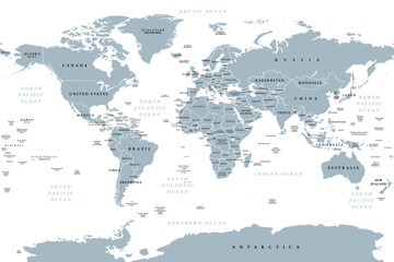 The world, gray political map with international country borders, continents, main oceans, and largest lakes, in a cylindrical projection. English labeling. Isolated illustration over white. Vectorfavorite_border favorite
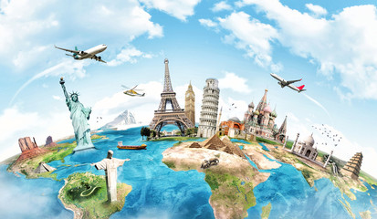 Travel the world monument conceptfavorite_border favorite
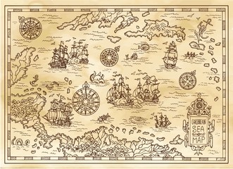 Ancient pirate map of the Caribbean Sea with ships, islands and fantasy creatures. Pirate adventures, treasure hunt and old transportation concept. Hand drawn vector illustration, vintage backgroundfavorite_border favorite
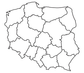 Map of Polandfavorite_border favorite
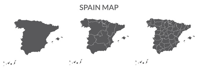 Spain map set of grey colorfavorite_border favorite
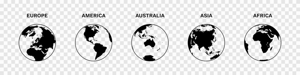 Set of Globe Illustration Vector of 5 Continents : Europe America Australia Asia Africa. World map vector illustration black silhouette bundlefavorite_border favorite
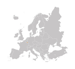 Territory of Luxembourg on Europe map on a white backgroundfavorite_border favorite
 Minimalist 3D city map with GPS navigation route and destination pins. Abstract urban landscape blue tones, showing a planned travel path across river. Travel concepts. Vector illustrationfavorite_border favorite
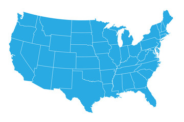 United States of American Mapfavorite_border favorite
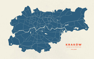 Krakow map vector poster flyerfavorite_border favorite
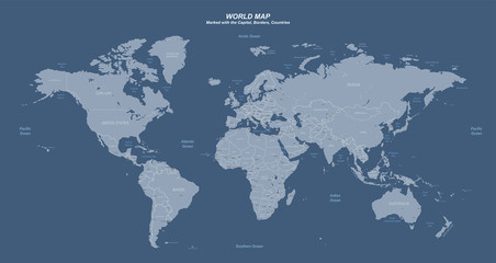 World map with marked countries, capital, border. high quality world map vector.favorite_border favorite
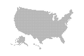 Dotted style map of USA and white backgroundfavorite_border favorite
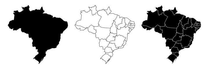 Brazil country vector map in white background.Brazil political map. Low detailed. Solid simple style. Black and white. Vector editable.favorite_border favorite
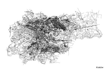 Cracow city map with roads and streets, Poland. Vector outline illustration.favorite_border favorite
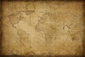 retro styled world mapfavorite_border favorite
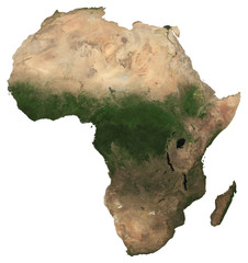 Large (97 MP) isolated satellite image of Africa. African continent from space. Detailed imagery / map of Africa in orthographic projection. Elements of this image furnished by NASA.favorite_border favorite
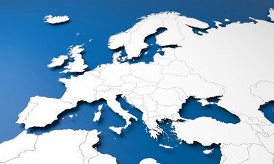 3D Europe mapfavorite_border favorite
 GPS Map to Route Destination network connection Location Street Map with GPS Icons Navigationfavorite_border favorite
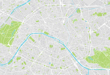 Paris city mapfavorite_border favorite
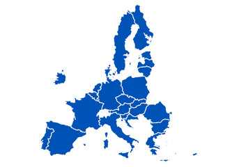 Mapa azul de la Unión Europea en fondo blanco.favorite_border favorite
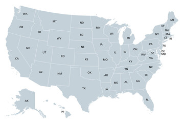 United States of America, gray political map. Fifty single states with their own geographic territories and borders, bound together in a union and federal government. Labeled with USPS abbreviations.favorite_border favorite
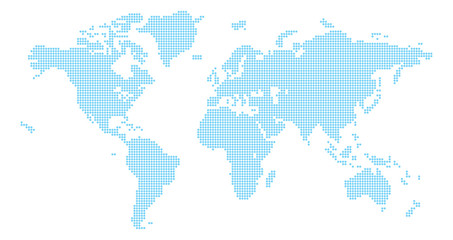 A world map background made of circles or dot shapesfavorite_border favorite
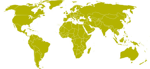 mapa mundifavorite_border favorite
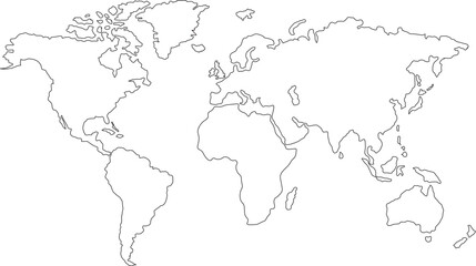 Abstract world map. Black outline silhouette on white background. Flat vector illustration. Background with Earth.favorite_border favorite
 Map of the united kingdomfavorite_border favorite
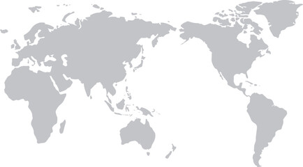 世界地図(日本中心)モノクロfavorite_border favorite
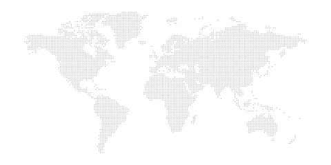 Dotted map of World. Small black dots on white backgroundfavorite_border favorite
 Blue city area, background map, streets. Skyline urban panorama. Cartography illustration. Widescreen proportion, digital flat design streetmap. Vector City top view. View from above the mapfavorite_border favorite
 World map with pointer marksfavorite_border favorite
 3d Brazil white map with regions isolatedfavorite_border favorite
 Isolated Continental Vector World Map.favorite_border favorite
 3D Render of Red Pin on the Map on Mobile Phone Screenfavorite_border favorite
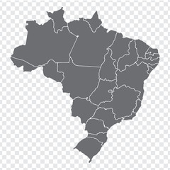 Blank map Brazil. High quality map Brazil with provinces on transparent background for your web site design, logo, app, UI. Stock vector. Vector illustration EPS10.favorite_border favorite
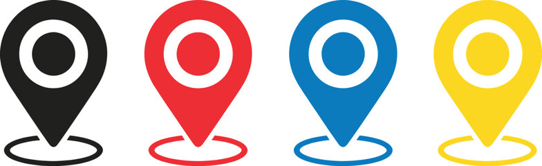 Black red blue yellow location pin symbols with concentric circles map marker pointerfavorite_border favorite
 Location map pin icon collection isolated on white background.favorite_border favorite
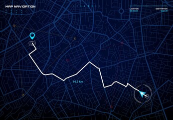 City map navigation interface. GPS navigator vector screen, street roads and location background. City map screen interface with road destination pin, compass and traffic route direction arrowsfavorite_border favorite
 Cartoon world mapfavorite_border favorite
 Pushpin on mapfavorite_border favorite
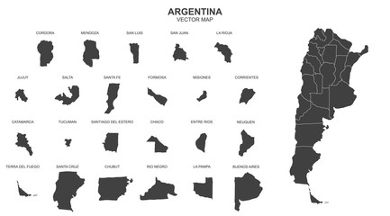 map of argentina on transparent backgroundfavorite_border favorite