-
World Map Transparent Background and Grain Texture, Black Global Map Silhouette with Rough Noise Effect for Geography, Travel and Creative Design Use
Do ulubionych favorite_border
Usuń z ulubionych favorite
-
Do ulubionych favorite_border
Usuń z ulubionych favorite
-
World map with country borders political geography illustration global business
Do ulubionych favorite_border
Usuń z ulubionych favorite
-
World map silhouette isolated on transparent background
Do ulubionych favorite_border
Usuń z ulubionych favorite
-
Worldwide map with dots in flat style. Dotted world map vector illustration on isolated background. Continent cartography sign business concept.
Do ulubionych favorite_border
Usuń z ulubionych favorite
-
Global Network Connection Earth with World Map Points and Lines – Digital Technology, International Business, Data Communication Vector Illustration
Do ulubionych favorite_border
Usuń z ulubionych favorite
-
Abstract Fine Dotted World Map Vector – Minimalist Flat Blue Small Halftone Earth Illustration on White Background
Do ulubionych favorite_border
Usuń z ulubionych favorite
-
Blue glowing linear world map concept. Abstract neon lined globe worldmap for poster, banner, brochure, flyer, booklet, presentation. Curved line continent infographics wallpaper. Vector illustration
Do ulubionych favorite_border
Usuń z ulubionych favorite
-
Global network connection abstract technology background with world map dot planet earth. Digital data communication and futuristic internet concept
Do ulubionych favorite_border
Usuń z ulubionych favorite
-
Minimalist abstract background featuring a world map created with halftone dot pattern in black and white.eps10
Do ulubionych favorite_border
Usuń z ulubionych favorite
-
Global Digital Network Connections Map with Glowing Data Links, World Communication Technology and Big Data Exchange Concept on Blue Background
Do ulubionych favorite_border
Usuń z ulubionych favorite
-
World Map with Shipping Routes Lines.
Do ulubionych favorite_border
Usuń z ulubionych favorite
-
Detailed illustrated world map highlighting major ocean gyres and continents, shown from a global top-down perspective with labeled currents, mountains, and ecosystems in a clean educational style.
Do ulubionych favorite_border
Usuń z ulubionych favorite
-
Hand-drawn sketch of planet Earth, globe, world map, continents, global illustration
Do ulubionych favorite_border
Usuń z ulubionych favorite
-
Curved world map silhouette blue half Earth globe, worldwide business geography international connectivity travel continents modern vector infographic design
Do ulubionych favorite_border
Usuń z ulubionych favorite
-
A detailed world map with countries outlined in gold on a black background, featuring a compass rose and ocean names.
Do ulubionych favorite_border
Usuń z ulubionych favorite
-
Global Travel Transportation Icons on World Map.
Do ulubionych favorite_border
Usuń z ulubionych favorite
-
Financial Market Infographic Set with Candlestick Chart, World Map, and Business Data Analysis Diagrams
Do ulubionych favorite_border
Usuń z ulubionych favorite
-
Global Travel Network Map - Connections Across Continents
Do ulubionych favorite_border
Usuń z ulubionych favorite
-
Curved World map earth globe with dot pattern. Halftone pixel texture, isolated world map. Vector international business, travel abstract political concept
Do ulubionych favorite_border
Usuń z ulubionych favorite
-
World map vector illustration, detailed countries and state borders with accurate contours, isolated on white background, global geography reference design, professional political map graphic for info
Do ulubionych favorite_border
Usuń z ulubionych favorite
-
Dotted World Map Vector Illustration with Pixelated Global Grid Pattern Design
Do ulubionych favorite_border
Usuń z ulubionych favorite
-
World map with countries labeled flat vector illustration for global business
Do ulubionych favorite_border
Usuń z ulubionych favorite
-
Black Political World Map with Blue Country Borders
Do ulubionych favorite_border
Usuń z ulubionych favorite
-
Grey world map template, blank continents layout with clean outlines, modern minimal geographic background, global travel and business concept, professional neutral tone, high quality vecto
Do ulubionych favorite_border
Usuń z ulubionych favorite
-
Global Logistics and Supply Chain Network with World Map and Transport Vehicles.
Do ulubionych favorite_border
Usuń z ulubionych favorite
-
Abstract Round Dotted 3D Globe Vector – Minimalist Blue Circle Halftone Curved World Map Illustration on White Background
Do ulubionych favorite_border
Usuń z ulubionych favorite
-
Blue neon glowing lined world map concept. Abstract neon lines globe worldmap for poster, banner, brochure, booklet, presentation. Round linear continent infographics wallpaper. Vector illustration
Do ulubionych favorite_border
Usuń z ulubionych favorite
-
Global business logistics and transportation network connection lines on world map with business logistics transportation connection international shipping delivery infrastructure
Do ulubionych favorite_border
Usuń z ulubionych favorite
-
Vintage grunge world map texture featuring sunlit clouds in a white retro sky on old paper
Do ulubionych favorite_border
Usuń z ulubionych favorite
-
Colorful kids cartoon world map vector, simplified global geography design with animals and landmarks.
Do ulubionych favorite_border
Usuń z ulubionych favorite
-
colorful vector world map on white background
Do ulubionych favorite_border
Usuń z ulubionych favorite
-
Map of the earth showing the region with relief representation, rivers, lakes, administrative boundaries and undersea relief. No labels at all.
Do ulubionych favorite_border
Usuń z ulubionych favorite
-
Digital World Map Global Network Technology Data with vector illustration
Do ulubionych favorite_border
Usuń z ulubionych favorite
-
Dotted Halftone World Map On White Background Geographical Illustration
Do ulubionych favorite_border
Usuń z ulubionych favorite
-
World map with location pins and connection lines representing global logistics and tracking. Flat vector illustration of international shipping, supply chain, and global trade.
Do ulubionych favorite_border
Usuń z ulubionych favorite
-
Modern global tech background with a digital globe, world map and AI network systems that connect planet earth through smart data, futuristic innovation and virtual communication. Vector illustration
Do ulubionych favorite_border
Usuń z ulubionych favorite
-
Global wireframe Earth globe outline with latitude and longitude grid lines, illustrating a world map on an isolated white background.
Do ulubionych favorite_border
Usuń z ulubionych favorite
-
World Map with Country Borders
Do ulubionych favorite_border
Usuń z ulubionych favorite
-
Black and white world map with country borders
Do ulubionych favorite_border
Usuń z ulubionych favorite
-
Global Network Connection Globe Emblem with Laurel Wreath - Blue and White
Do ulubionych favorite_border
Usuń z ulubionych favorite
-
Curved World Map Silhouette: Global Perspective Vector with Grayscale Continents
Do ulubionych favorite_border
Usuń z ulubionych favorite
-
Global connection network background. World map. High-speed internet technology concept or fast wireless data transmission. modern internet network connection technology background
Do ulubionych favorite_border
Usuń z ulubionych favorite
-
Map pin location icon set. Map markers isolated on white background. Black pointer GPS location symbol. Vector illustration. Color icon set
Do ulubionych favorite_border
Usuń z ulubionych favorite
-
World map illustrating the distribution of countries across different color-coded regions, likely representing economic or developmental classifications.
Do ulubionych favorite_border
Usuń z ulubionych favorite
-
High detailed world map with country borders isolated on white background gray global cartography vector for infographics business presentation and educational geography projects.
Do ulubionych favorite_border
Usuń z ulubionych favorite
-
World map globe vector with grid lines latitude longitude continents earth sphere illustration design template for business technology presentation banner background
Do ulubionych favorite_border
Usuń z ulubionych favorite
-
Purple World Map, Global Illustration, Geography Vector, Map Silhouette
Do ulubionych favorite_border
Usuń z ulubionych favorite
-
Simplified blue silhouette world map showing continents, global geography concept, international theme, educational design, vector illustration artwork, isolated background
Do ulubionych favorite_border
Usuń z ulubionych favorite
-
Geometric World Map Vector, Global Continents, Teal Blue Green Gradient vector illustration
Do ulubionych favorite_border
Usuń z ulubionych favorite
-
Funny cartoon world map vector design, colorful educational geography illustration for children and school projects.
Do ulubionych favorite_border
Usuń z ulubionych favorite
-
Vintage aged parchment background with a grunge old paper texture featuring antique paint splatters and earth brown floral art patterns for a retro world map illustration design
Do ulubionych favorite_border
Usuń z ulubionych favorite
-
A map of the world is shown in black and white
Do ulubionych favorite_border
Usuń z ulubionych favorite
-
Halftone world map with dotted globe continents in black and white, abstract Earth geography graphic for digital infographics and global design concept, vector isolated illustration
Do ulubionych favorite_border
Usuń z ulubionych favorite
-
world map vector illustration, Black and White World Map Vector illustration
Do ulubionych favorite_border
Usuń z ulubionych favorite
-
World map, Earth flat view from space. Physical map on global satellite photo. Elements of this image furnished by NASA.
Do ulubionych favorite_border
Usuń z ulubionych favorite
-
Antique world map collage inspired by old cartography of the 18, 19 century. Old geographical map with continents, oceans, ships, and compass roses on aged parchment background.
Do ulubionych favorite_border
Usuń z ulubionych favorite
-
Vector Linear World Map, editable stroke. vector illustration isolated on white background.
Do ulubionych favorite_border
Usuń z ulubionych favorite
-
Hi Detail Vector Political World Map illustration
Do ulubionych favorite_border
Usuń z ulubionych favorite
-
Continuous one line drawing. World map.one line vector illustration with out background
Do ulubionych favorite_border
Usuń z ulubionych favorite
-
Do ulubionych favorite_border
Usuń z ulubionych favorite
-
Very detailed high quality world map with state borders isolated on white background
Do ulubionych favorite_border
Usuń z ulubionych favorite
-
Globe Curved World Map - Vector
Do ulubionych favorite_border
Usuń z ulubionych favorite
-
vector illustration of gray colored world map
Do ulubionych favorite_border
Usuń z ulubionych favorite
-
Colorful Vector World Map with Country Labels
Do ulubionych favorite_border
Usuń z ulubionych favorite
-
World map. Color vector modern. Silhouette map.
Do ulubionych favorite_border
Usuń z ulubionych favorite
-
Global network connection. World map point and line composition concept of global business. Vector Illustration
Do ulubionych favorite_border
Usuń z ulubionych favorite
-
Global connections illustrated on a world map with interconnected lines representing networks and communication across continents, digital concept
Do ulubionych favorite_border
Usuń z ulubionych favorite
-
Simple outline of world map on transparent background, vector 10 eps.
Do ulubionych favorite_border
Usuń z ulubionych favorite
-
Simplified world map (centered on Europe / African Continent)
Do ulubionych favorite_border
Usuń z ulubionych favorite
-
Minimalist World Map Vector Outline – Professional Blue Contour Geographic Map on Transparent Background
Do ulubionych favorite_border
Usuń z ulubionych favorite
-
Weltkarte - einzelne Länder in Farbe (hoher Detailgrad)
Do ulubionych favorite_border
Usuń z ulubionych favorite
-
3d render of a relief map of the world. Elements of this image furnished by NASA.
Do ulubionych favorite_border
Usuń z ulubionych favorite
-
Do ulubionych favorite_border
Usuń z ulubionych favorite
-
A dotted world map illustration showcasing continents and oceans
Do ulubionych favorite_border
Usuń z ulubionych favorite
-
Global Map A Simple Black and White World Map Illustration for Educational and Informational Purposes
Do ulubionych favorite_border
Usuń z ulubionych favorite
-
Do ulubionych favorite_border
Usuń z ulubionych favorite
-
Mapa świata z zaznaczonymi kontynentami.
Do ulubionych favorite_border
Usuń z ulubionych favorite
-
World Map Outline Contour Silhouette - Asia in Center
Do ulubionych favorite_border
Usuń z ulubionych favorite
-
Pixelated world map illustration with continents and oceans clearly defined
Do ulubionych favorite_border
Usuń z ulubionych favorite
-
Curved world map silhouette, half globe of blue planet Earth, global business geography, worldwide international. Africa, Asia and America, Europe, Australia continents. Travel vector infographics
Do ulubionych favorite_border
Usuń z ulubionych favorite
-
Grey World Map with countries name Illustration
Do ulubionych favorite_border
Usuń z ulubionych favorite
-
World Map Political and Flags - Vector Detailed Illustration
Do ulubionych favorite_border
Usuń z ulubionych favorite
-
Magnifying glass highlighting Southeast Asia on a world map, symbolizing travel planning, regional analysis, tourism research, international business, and geographic exploration.
Do ulubionych favorite_border
Usuń z ulubionych favorite
-
World map. Highly detailed map of the world with detailed borders of all countries, cities, regions and bodies of water in blue tones.
Do ulubionych favorite_border
Usuń z ulubionych favorite
-
World map vector showing all countries in with borders. Perfect for infographics, data visualization, presentations, or educational use.
Do ulubionych favorite_border
Usuń z ulubionych favorite
-
Robinson projection world map grey fill white borders without Antarctica global vector graphic geography silhouette shape national border design isolated transparent background atlas eps
Do ulubionych favorite_border
Usuń z ulubionych favorite
-
An artistic grunge watercolor world map illustration featuring vintage paper textures and continents like Europe, Asia, and America for a global geography travel atlas of the earth
Do ulubionych favorite_border
Usuń z ulubionych favorite
-
Minimal Green Earth Globe Icon with Simplified Continents Isolated on Transparent Background for Eco and Global Concept Design
Do ulubionych favorite_border
Usuń z ulubionych favorite
-
Colorful Political World Map with Country Names and Borders. Detailed 2D geographic illustration of the globe for education, travel, and business infographics.
Do ulubionych favorite_border
Usuń z ulubionych favorite
-
Do ulubionych favorite_border
Usuń z ulubionych favorite
-
Weltkarte - Hellgrau (hoher Detailgrad)
Do ulubionych favorite_border
Usuń z ulubionych favorite
-
World Map Outline Minimal Line Drawing.
Do ulubionych favorite_border
Usuń z ulubionych favorite
-
Abstract black blank silhouette of world map isolated on white background. Vector illustration
Do ulubionych favorite_border
Usuń z ulubionych favorite
-
Detailed world map grey vector illustration
Do ulubionych favorite_border
Usuń z ulubionych favorite
-
World map on transparent background
Do ulubionych favorite_border
Usuń z ulubionych favorite
-
Global network connection. World map point and line composition concept of global business. Vector Illustration
Do ulubionych favorite_border
Usuń z ulubionych favorite
-
六州で色分けされた世界地図、ロシアをアジア州として別色で表示、英語
Do ulubionych favorite_border
Usuń z ulubionych favorite
-
Detailed world map with borders of states. Isolated world map. Isolated on white background. Vector illustration.
Do ulubionych favorite_border
Usuń z ulubionych favorite
-
Colorful World Map Vector Illustration with Distinctly Colored Continents Isolated on White Background
Do ulubionych favorite_border
Usuń z ulubionych favorite
 World Map Transparent Background and Grain Texture, Black Global Map Silhouette with Rough Noise Effect for Geography, Travel and Creative Design Usefavorite_border favorite
 Modern World Map Designfavorite_border favorite
 World map with country borders political geography illustration global businessfavorite_border favorite
 World map silhouette isolated on transparent backgroundfavorite_border favorite
 Worldwide map with dots in flat style. Dotted world map vector illustration on isolated background. Continent cartography sign business concept.favorite_border favorite
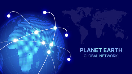 Global Network Connection Earth with World Map Points and Lines – Digital Technology, International Business, Data Communication Vector Illustrationfavorite_border favorite
 Abstract Fine Dotted World Map Vector – Minimalist Flat Blue Small Halftone Earth Illustration on White Backgroundfavorite_border favorite
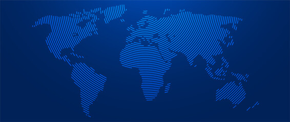 Blue glowing linear world map concept. Abstract neon lined globe worldmap for poster, banner, brochure, flyer, booklet, presentation. Curved line continent infographics wallpaper. Vector illustrationfavorite_border favorite
 Global network connection abstract technology background with world map dot planet earth. Digital data communication and futuristic internet conceptfavorite_border favorite
 Minimalist abstract background featuring a world map created with halftone dot pattern in black and white.eps10favorite_border favorite
 Global Digital Network Connections Map with Glowing Data Links, World Communication Technology and Big Data Exchange Concept on Blue Backgroundfavorite_border favorite
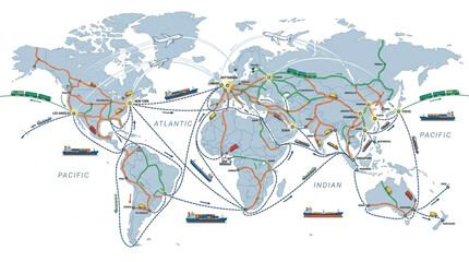 World Map with Shipping Routes Lines.favorite_border favorite
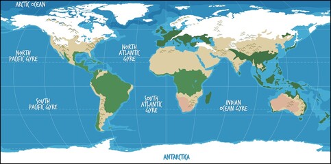 Detailed illustrated world map highlighting major ocean gyres and continents, shown from a global top-down perspective with labeled currents, mountains, and ecosystems in a clean educational style.favorite_border favorite
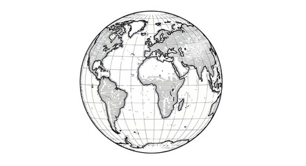 Hand-drawn sketch of planet Earth, globe, world map, continents, global illustrationfavorite_border favorite
 Curved world map silhouette blue half Earth globe, worldwide business geography international connectivity travel continents modern vector infographic designfavorite_border favorite
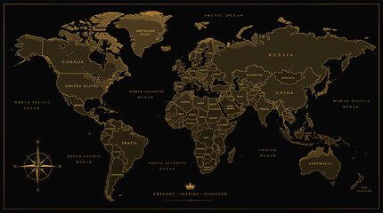 A detailed world map with countries outlined in gold on a black background, featuring a compass rose and ocean names.favorite_border favorite
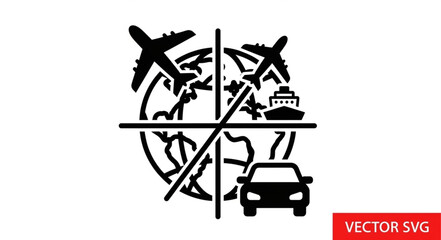 Global Travel Transportation Icons on World Map.favorite_border favorite
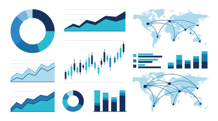 Financial Market Infographic Set with Candlestick Chart, World Map, and Business Data Analysis Diagramsfavorite_border favorite
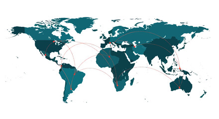 Global Travel Network Map - Connections Across Continentsfavorite_border favorite
 Curved World map earth globe with dot pattern. Halftone pixel texture, isolated world map. Vector international business, travel abstract political conceptfavorite_border favorite
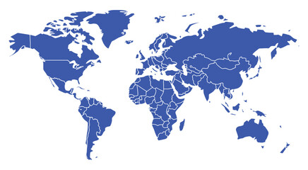 World map vector illustration, detailed countries and state borders with accurate contours, isolated on white background, global geography reference design, professional political map graphic for infofavorite_border favorite
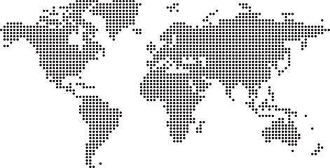 Dotted World Map Vector Illustration with Pixelated Global Grid Pattern Designfavorite_border favorite
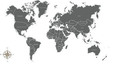 World map with countries labeled flat vector illustration for global businessfavorite_border favorite
 Black Political World Map with Blue Country Bordersfavorite_border favorite
 Grey world map template, blank continents layout with clean outlines, modern minimal geographic background, global travel and business concept, professional neutral tone, high quality vectofavorite_border favorite
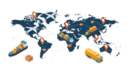 Global Logistics and Supply Chain Network with World Map and Transport Vehicles.favorite_border favorite
 Abstract Round Dotted 3D Globe Vector – Minimalist Blue Circle Halftone Curved World Map Illustration on White Backgroundfavorite_border favorite
 Blue neon glowing lined world map concept. Abstract neon lines globe worldmap for poster, banner, brochure, booklet, presentation. Round linear continent infographics wallpaper. Vector illustrationfavorite_border favorite
 Global business logistics and transportation network connection lines on world map with business logistics transportation connection international shipping delivery infrastructurefavorite_border favorite
 Vintage grunge world map texture featuring sunlit clouds in a white retro sky on old paperfavorite_border favorite
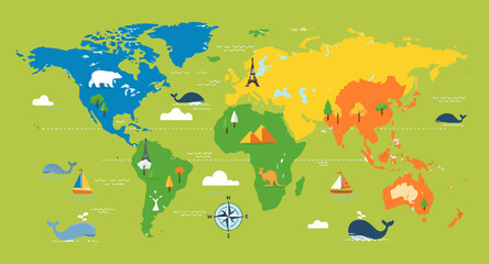 Colorful kids cartoon world map vector, simplified global geography design with animals and landmarks.favorite_border favorite
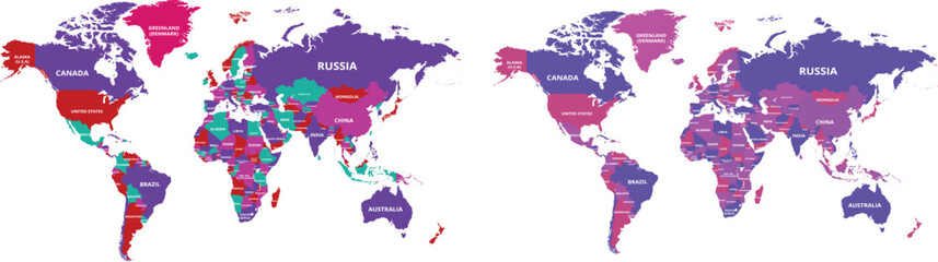 colorful vector world map on white backgroundfavorite_border favorite
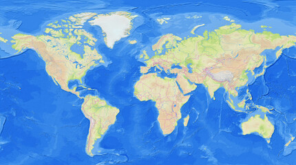 Map of the earth showing the region with relief representation, rivers, lakes, administrative boundaries and undersea relief. No labels at all.favorite_border favorite
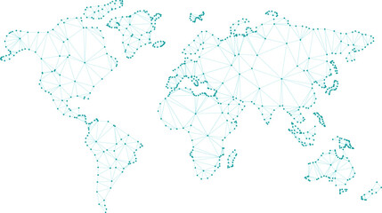 Digital World Map Global Network Technology Data with vector illustrationfavorite_border favorite
 Dotted Halftone World Map On White Background Geographical Illustrationfavorite_border favorite
 World map with location pins and connection lines representing global logistics and tracking. Flat vector illustration of international shipping, supply chain, and global trade.favorite_border favorite
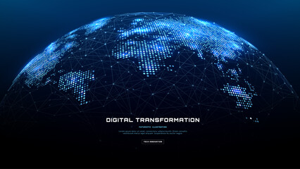 Modern global tech background with a digital globe, world map and AI network systems that connect planet earth through smart data, futuristic innovation and virtual communication. Vector illustrationfavorite_border favorite
 Global wireframe Earth globe outline with latitude and longitude grid lines, illustrating a world map on an isolated white background.favorite_border favorite
 World Map with Country Bordersfavorite_border favorite
 Black and white world map with country bordersfavorite_border favorite
 Global Network Connection Globe Emblem with Laurel Wreath - Blue and Whitefavorite_border favorite
 Curved World Map Silhouette: Global Perspective Vector with Grayscale Continentsfavorite_border favorite
 Global connection network background. World map. High-speed internet technology concept or fast wireless data transmission. modern internet network connection technology backgroundfavorite_border favorite
 Map pin location icon set. Map markers isolated on white background. Black pointer GPS location symbol. Vector illustration. Color icon setfavorite_border favorite
 World map illustrating the distribution of countries across different color-coded regions, likely representing economic or developmental classifications.favorite_border favorite
 High detailed world map with country borders isolated on white background gray global cartography vector for infographics business presentation and educational geography projects.favorite_border favorite
 World map globe vector with grid lines latitude longitude continents earth sphere illustration design template for business technology presentation banner backgroundfavorite_border favorite
 Purple World Map, Global Illustration, Geography Vector, Map Silhouettefavorite_border favorite
 Simplified blue silhouette world map showing continents, global geography concept, international theme, educational design, vector illustration artwork, isolated backgroundfavorite_border favorite
 Geometric World Map Vector, Global Continents, Teal Blue Green Gradient vector illustrationfavorite_border favorite
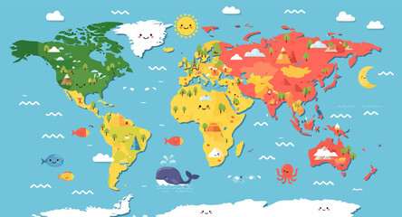 Funny cartoon world map vector design, colorful educational geography illustration for children and school projects.favorite_border favorite
 Vintage aged parchment background with a grunge old paper texture featuring antique paint splatters and earth brown floral art patterns for a retro world map illustration designfavorite_border favorite
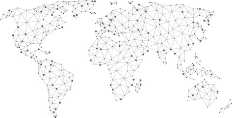 A map of the world is shown in black and whitefavorite_border favorite
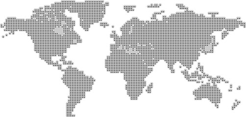 Halftone world map with dotted globe continents in black and white, abstract Earth geography graphic for digital infographics and global design concept, vector isolated illustrationfavorite_border favorite
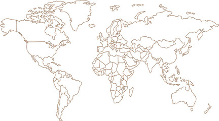 world map vector illustration, Black and White World Map Vector illustrationfavorite_border favorite
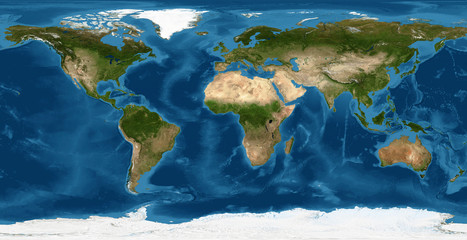 World map, Earth flat view from space. Physical map on global satellite photo. Elements of this image furnished by NASA.favorite_border favorite
 Antique world map collage inspired by old cartography of the 18, 19 century. Old geographical map with continents, oceans, ships, and compass roses on aged parchment background.favorite_border favorite
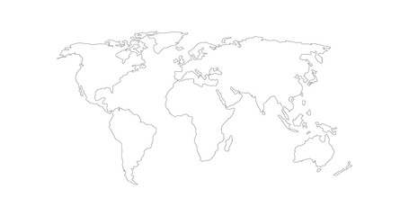 Vector Linear World Map, editable stroke. vector illustration isolated on white background.favorite_border favorite
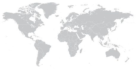 Hi Detail Vector Political World Map illustrationfavorite_border favorite
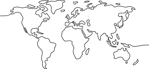 Continuous one line drawing. World map.one line vector illustration with out backgroundfavorite_border favorite
 世界地図(日本中心)緑favorite_border favorite
 Very detailed high quality world map with state borders isolated on white backgroundfavorite_border favorite
 Globe Curved World Map - Vectorfavorite_border favorite
 vector illustration of gray colored world mapfavorite_border favorite
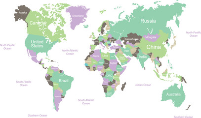 Colorful Vector World Map with Country Labelsfavorite_border favorite
 World map. Color vector modern. Silhouette map.favorite_border favorite
 Global network connection. World map point and line composition concept of global business. Vector Illustrationfavorite_border favorite
 Global connections illustrated on a world map with interconnected lines representing networks and communication across continents, digital conceptfavorite_border favorite
 Simple outline of world map on transparent background, vector 10 eps.favorite_border favorite
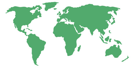 Simplified world map (centered on Europe / African Continent)favorite_border favorite
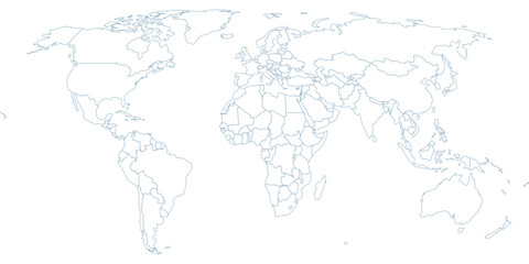 Minimalist World Map Vector Outline – Professional Blue Contour Geographic Map on Transparent Backgroundfavorite_border favorite
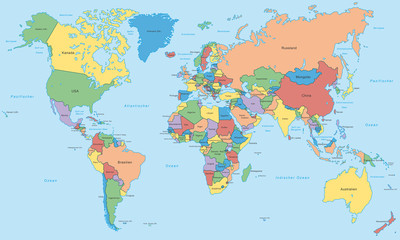 Weltkarte - einzelne Länder in Farbe (hoher Detailgrad)favorite_border favorite
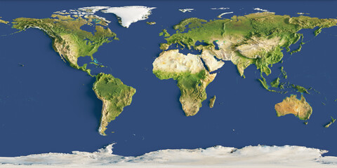 3d render of a relief map of the world. Elements of this image furnished by NASA.favorite_border favorite
 World Mapfavorite_border favorite
 A dotted world map illustration showcasing continents and oceansfavorite_border favorite
 Global Map A Simple Black and White World Map Illustration for Educational and Informational Purposesfavorite_border favorite
 Mapa świata 2favorite_border favorite
 Mapa świata z zaznaczonymi kontynentami.favorite_border favorite
 World Map Outline Contour Silhouette - Asia in Centerfavorite_border favorite
 Pixelated world map illustration with continents and oceans clearly definedfavorite_border favorite
 Curved world map silhouette, half globe of blue planet Earth, global business geography, worldwide international. Africa, Asia and America, Europe, Australia continents. Travel vector infographicsfavorite_border favorite
 Grey World Map with countries name Illustrationfavorite_border favorite
 World Map Political and Flags - Vector Detailed Illustrationfavorite_border favorite
 Magnifying glass highlighting Southeast Asia on a world map, symbolizing travel planning, regional analysis, tourism research, international business, and geographic exploration.favorite_border favorite
 World map. Highly detailed map of the world with detailed borders of all countries, cities, regions and bodies of water in blue tones.favorite_border favorite
 World map vector showing all countries in with borders. Perfect for infographics, data visualization, presentations, or educational use.favorite_border favorite
 Robinson projection world map grey fill white borders without Antarctica global vector graphic geography silhouette shape national border design isolated transparent background atlas epsfavorite_border favorite
 An artistic grunge watercolor world map illustration featuring vintage paper textures and continents like Europe, Asia, and America for a global geography travel atlas of the earthfavorite_border favorite
 Minimal Green Earth Globe Icon with Simplified Continents Isolated on Transparent Background for Eco and Global Concept Designfavorite_border favorite
 Colorful Political World Map with Country Names and Borders. Detailed 2D geographic illustration of the globe for education, travel, and business infographics.favorite_border favorite
 世界地図 グラデーションfavorite_border favorite
 Weltkarte - Hellgrau (hoher Detailgrad)favorite_border favorite
 World Map Outline Minimal Line Drawing.favorite_border favorite
 Abstract black blank silhouette of world map isolated on white background. Vector illustrationfavorite_border favorite
 Detailed world map grey vector illustrationfavorite_border favorite
 World map on transparent backgroundfavorite_border favorite
 Global network connection. World map point and line composition concept of global business. Vector Illustrationfavorite_border favorite
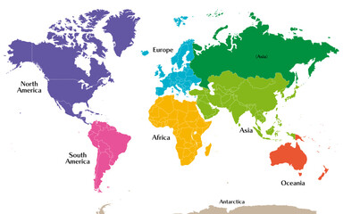 六州で色分けされた世界地図、ロシアをアジア州として別色で表示、英語favorite_border favorite
 Detailed world map with borders of states. Isolated world map. Isolated on white background. Vector illustration.favorite_border favorite
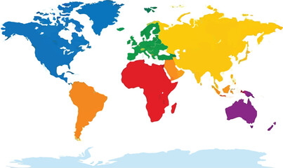 Colorful World Map Vector Illustration with Distinctly Colored Continents Isolated on White Backgroundfavorite_border favorite