-
Dynamic digital world map emphasize Western Europe continental for AI powered global network connectivity big data transfer cyber technology network information exchange and telecommunication concept.
Do ulubionych favorite_border
Usuń z ulubionych favorite
-
Do ulubionych favorite_border
Usuń z ulubionych favorite
-
Halftone world map with black lines and dots on for global connections
Do ulubionych favorite_border
Usuń z ulubionych favorite
-
Nuclear war rocket launch dashboard displaying a world map with military-style missile trajectories and a central warning sign illustration global conflict military threats or defense systems
Do ulubionych favorite_border
Usuń z ulubionych favorite
-
World night lights map. Panoramic image. Elements of this image are furnished by NASA
Do ulubionych favorite_border
Usuń z ulubionych favorite
-
Abstract grunge background vector illustration featuring a detailed world map with the United Kingdom, Europe, and country borders for travel and geography design
Do ulubionych favorite_border
Usuń z ulubionych favorite
-
World map earth globe dot pattern 3D icon, halftone pixel texture global business geography international travel abstract political concept vector illustration
Do ulubionych favorite_border
Usuń z ulubionych favorite
-
World Map Vector Editable Template for Business Use
Do ulubionych favorite_border
Usuń z ulubionych favorite
-
Oval globe outline with world map borders and grid lines in bright cyan vector illustration
Do ulubionych favorite_border
Usuń z ulubionych favorite
-
Image of network of connections over world map on black bacground
Do ulubionych favorite_border
Usuń z ulubionych favorite
-
Dotted Direction Paths And Map Pointers Over World Map., Airplanes World Map, Vector illustration
Do ulubionych favorite_border
Usuń z ulubionych favorite
-
Highly detailed World Map vector illustration. Editable and clearly labeled layers.
Do ulubionych favorite_border
Usuń z ulubionych favorite
-
Vector world map in Mollweide projection, interrupted into two equal-area hemispheres. A plain geographical map with latitude and longitude lines, centered at 120 degrees W longitude.
Do ulubionych favorite_border
Usuń z ulubionych favorite
-
World Map - Vintage Political - Vector Detailed Illustration
Do ulubionych favorite_border
Usuń z ulubionych favorite
-
World Map. Detailed Contours. Line Style
Do ulubionych favorite_border
Usuń z ulubionych favorite
-
Do ulubionych favorite_border
Usuń z ulubionych favorite
-
Global Connection Map: World Map with Connecting Lines and Arrows
Do ulubionych favorite_border
Usuń z ulubionych favorite
-
Minimal area topography spiral line white fabric textile background. landscape black line wireframe location diagram world map texture design.
Do ulubionych favorite_border
Usuń z ulubionych favorite
-
Minimal Flat World Map Vector illustration, Dark and Gray on White, world map design, easily editable and scalable.
Do ulubionych favorite_border
Usuń z ulubionych favorite
-
Do ulubionych favorite_border
Usuń z ulubionych favorite
-
Do ulubionych favorite_border
Usuń z ulubionych favorite
-
Do ulubionych favorite_border
Usuń z ulubionych favorite
-
Maze map of the world, Vector illustration
Do ulubionych favorite_border
Usuń z ulubionych favorite
-
Isolated Continental Vector World Map.
Do ulubionych favorite_border
Usuń z ulubionych favorite
-
Do ulubionych favorite_border
Usuń z ulubionych favorite
-
世界地図 簡略ドットイラスト IT、デジタルイメージ(青ドット、白背景)
Do ulubionych favorite_border
Usuń z ulubionych favorite
-
Do ulubionych favorite_border
Usuń z ulubionych favorite
-
Realistic world map in globe shape on transparent background. Set of transparent globes of Earth.
Do ulubionych favorite_border
Usuń z ulubionych favorite
-
Outline World Map Vector, Global Continents, Political Borders, Blank Earth Illustration
Do ulubionych favorite_border
Usuń z ulubionych favorite
-
A 3d illustration of a red button featuring a global world map sphere showing the blue ocean and green land continents of Earth in a travel business icon concept
Do ulubionych favorite_border
Usuń z ulubionych favorite
-
Global AI: World Map with Integrated Artificial Intelligence Microchip.
Do ulubionych favorite_border
Usuń z ulubionych favorite
-
grey world map vector illustration
Do ulubionych favorite_border
Usuń z ulubionych favorite
-
World map line connection design. Global network connection isolated white background. Vector Illustration
Do ulubionych favorite_border
Usuń z ulubionych favorite
-
World Map Watercolor - Art Decorative Illustration of the World Map in Faded Blue Gray Colors - Ideally for Interior Print
Do ulubionych favorite_border
Usuń z ulubionych favorite
-
Map poster, travel map, world map print, wall art, home decor, map, drawn map inspiring, creative print, abstract decor, artistic world map
Do ulubionych favorite_border
Usuń z ulubionych favorite
-
Do ulubionych favorite_border
Usuń z ulubionych favorite
-
World Map With Network Connections Dark Blue Vector Illustration
Do ulubionych favorite_border
Usuń z ulubionych favorite
-
Minimal area topography spiral line white fabric textile background. landscape black line wireframe location diagram world map texture design.
Do ulubionych favorite_border
Usuń z ulubionych favorite
-
Vector stylish outline of world map. Colorful Flat design of continents, gradient map
Do ulubionych favorite_border
Usuń z ulubionych favorite
-
Global communication network concept.
Do ulubionych favorite_border
Usuń z ulubionych favorite
-
Global network connections with world map. Internet connection background. Abstract connection structure. Polygonal space background. Vector illustration.
Do ulubionych favorite_border
Usuń z ulubionych favorite
-
Do ulubionych favorite_border
Usuń z ulubionych favorite
-
World map with countries labeled flat vector illustration
Do ulubionych favorite_border
Usuń z ulubionych favorite
-
Professional workers and freelancers working together online
Do ulubionych favorite_border
Usuń z ulubionych favorite
-
Weltkarte mit vernetzten Länder
Do ulubionych favorite_border
Usuń z ulubionych favorite
-
Flying airplanes world map abstract vector background - flying white airplanes routes on blue background - Air travel concept
Do ulubionych favorite_border
Usuń z ulubionych favorite
-
Do ulubionych favorite_border
Usuń z ulubionych favorite
-
Global shipping routes and cargo vessels on a world map illustration
Do ulubionych favorite_border
Usuń z ulubionych favorite
-
Do ulubionych favorite_border
Usuń z ulubionych favorite
-
Do ulubionych favorite_border
Usuń z ulubionych favorite
-
World map with all states and their flags,3d render
Do ulubionych favorite_border
Usuń z ulubionych favorite
-
Global Connection Lines. Network Data Transfer Over Earth. Futuristic AI Technology, 5G, Satellite Communication, Internet Connectivity, Big Data, Digital World Background Animation. Crypto Exchange
Do ulubionych favorite_border
Usuń z ulubionych favorite
-
Pink World Map Outline and Solid Silhouette Illustration
Do ulubionych favorite_border
Usuń z ulubionych favorite
-
World map halftone. Made for world news and articles. Grey circles on white background.
Do ulubionych favorite_border
Usuń z ulubionych favorite
-
Vector map of the world with countries in the form of national flags
Do ulubionych favorite_border
Usuń z ulubionych favorite
-
Detailed World Map with Countries stock illustration
Do ulubionych favorite_border
Usuń z ulubionych favorite
-
Vector hand drawn light grunge watercolor world map isolated on white background
Do ulubionych favorite_border
Usuń z ulubionych favorite
-
Minimal area topography spiral line white fabric textile background. landscape black line wireframe location diagram world map texture design.
Do ulubionych favorite_border
Usuń z ulubionych favorite
-
A stylized world map with iconic landmarks around the globe
Do ulubionych favorite_border
Usuń z ulubionych favorite
-
Abstract blue technology background featuring a digital world map with glowing light lines and motion waves for a futuristic communication network design
Do ulubionych favorite_border
Usuń z ulubionych favorite
-
Green forests overlay world map for worlds environment days, Green eco ecosystem present background
Do ulubionych favorite_border
Usuń z ulubionych favorite
-
World map illustration featuring outlined continents in light gray over a dark background. Ideal for global, business, or educational stock applications.
Do ulubionych favorite_border
Usuń z ulubionych favorite
-
Elegant gold foil digital illustration of a world map. Luxurious and stylish design, perfect for prints, wallpapers, invitations, branding, and interior decor. High-quality minimalist artwork with a m
Do ulubionych favorite_border
Usuń z ulubionych favorite
-
vector design of person holding camera for world photography day 3 eps
Do ulubionych favorite_border
Usuń z ulubionych favorite
-
world map with geographical objects names
Do ulubionych favorite_border
Usuń z ulubionych favorite
-
Do ulubionych favorite_border
Usuń z ulubionych favorite
-
Do ulubionych favorite_border
Usuń z ulubionych favorite
-
Abstract blue background features a digital world map of white dots and lines, representing global network connections, technology, and communication.
Do ulubionych favorite_border
Usuń z ulubionych favorite
-
Glowing World Map: Global Network, Connection, and Technology Background
Do ulubionych favorite_border
Usuń z ulubionych favorite
-
Turkey and Kosovo maps on a global map vector
Do ulubionych favorite_border
Usuń z ulubionych favorite
-
Do ulubionych favorite_border
Usuń z ulubionych favorite
-
Transporte urgente de mercancías por carretera. Camión, carretilla y furgonetas rojas con mapamundi rojo a la izquierda.
Do ulubionych favorite_border
Usuń z ulubionych favorite
-
Vector world map showing centralized global connections with curved lines originating from center and connecting to various continents connection business logistics communication international
Do ulubionych favorite_border
Usuń z ulubionych favorite
-
Abstract Square Pixel 3D Globe Vector – Minimalist Blue Small Grid Pattern Curved World Map Illustration on White Background
Do ulubionych favorite_border
Usuń z ulubionych favorite
-
world vector map on a white
Do ulubionych favorite_border
Usuń z ulubionych favorite
-
World map. Global network, pixel texture, earth background, abstract pattern
Do ulubionych favorite_border
Usuń z ulubionych favorite
-
Perspective view on screen texture with abstract global stats data on digital interface and world map on dark technological background, hud template. 3D rendering
Do ulubionych favorite_border
Usuń z ulubionych favorite
-
Minimal area topography spiral line white fabric textile background. landscape black line wireframe location diagram world map texture design.
Do ulubionych favorite_border
Usuń z ulubionych favorite
-
world map element infographic , infochart business information icon
Do ulubionych favorite_border
Usuń z ulubionych favorite
-
Funny cartoon world map with children of different nationalities, animals and monuments of all the continents and oceans. Vector illustration for preschool education and kids design.
Do ulubionych favorite_border
Usuń z ulubionych favorite
-
Colored World Map - borders, countries and cities - illustration Highly detailed colored vector illustration of world map.
Do ulubionych favorite_border
Usuń z ulubionych favorite
-
Chalk outline of a world map with a toy airplane
Do ulubionych favorite_border
Usuń z ulubionych favorite
-
world map with state names vector illustration
Do ulubionych favorite_border
Usuń z ulubionych favorite
-
Transparent PNG available. Blank Detailed, topo. Topography and geography map grid abstract backdrop. wave Line. topographic wavy pattern design. World Map Vintage Old-Style. Rendering, 3d, white, art
Do ulubionych favorite_border
Usuń z ulubionych favorite
-
Green factory print screen on wooden block on world map and green background for green economy to reduce carbon dioxide emission from Kyoto protocol within 2050 ,Sustainability environment concept.
Do ulubionych favorite_border
Usuń z ulubionych favorite
-
Абстрактный фон. Карта мира круглыми точками. Векторная иллюстрация.
Do ulubionych favorite_border
Usuń z ulubionych favorite
-
Do ulubionych favorite_border
Usuń z ulubionych favorite
-
Do ulubionych favorite_border
Usuń z ulubionych favorite
-
Do ulubionych favorite_border
Usuń z ulubionych favorite
-
Global travel icons set with airplane flying around earth globe world map silhouettes for international flight logistics and tourism industry branding
Do ulubionych favorite_border
Usuń z ulubionych favorite
-
white topography map geography relief diagram texture design. Topography white background and black line world map texture design. Lines Topographic contour lines grid map seamless pattern.
Do ulubionych favorite_border
Usuń z ulubionych favorite
-
world map continents outline drawing
Do ulubionych favorite_border
Usuń z ulubionych favorite
-
Simple black and white world map silhouette showing continents and global locations
Do ulubionych favorite_border
Usuń z ulubionych favorite
-
world map icon, world map silhouette vector illustration-simple silhouette illustration of world map, perfect for world map logos and icons
Do ulubionych favorite_border
Usuń z ulubionych favorite
-
Earth globe with country of France highlighted in red. 3D illustration. Elements of this image furnished by NASA
Do ulubionych favorite_border
Usuń z ulubionych favorite
-
Colleagues in office looking at world map
Do ulubionych favorite_border
Usuń z ulubionych favorite
-
Do ulubionych favorite_border
Usuń z ulubionych favorite
-
Minimal area topography spiral line white fabric textile background. landscape black line wireframe location diagram world map texture design.
Do ulubionych favorite_border
Usuń z ulubionych favorite
-
Simplified vector illustration of world map
Do ulubionych favorite_border
Usuń z ulubionych favorite
-
Realistic round shape and dotted map silhouette of north America and south America. Round line shape dotted north America and south America of world map.
Do ulubionych favorite_border
Usuń z ulubionych favorite
 Dynamic digital world map emphasize Western Europe continental for AI powered global network connectivity big data transfer cyber technology network information exchange and telecommunication concept.favorite_border favorite
 白バックの日本中心のドットの世界地図favorite_border favorite
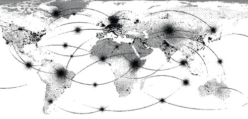 Halftone world map with black lines and dots on for global connectionsfavorite_border favorite
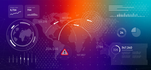 Nuclear war rocket launch dashboard displaying a world map with military-style missile trajectories and a central warning sign illustration global conflict military threats or defense systemsfavorite_border favorite
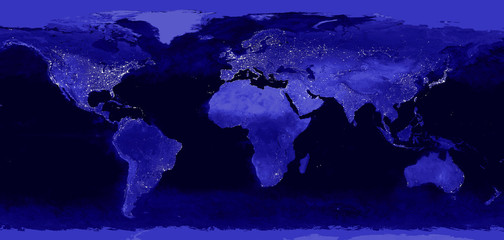 World night lights map. Panoramic image. Elements of this image are furnished by NASAfavorite_border favorite
 Abstract grunge background vector illustration featuring a detailed world map with the United Kingdom, Europe, and country borders for travel and geography designfavorite_border favorite
 World map earth globe dot pattern 3D icon, halftone pixel texture global business geography international travel abstract political concept vector illustrationfavorite_border favorite
 World Map Vector Editable Template for Business Usefavorite_border favorite
 Oval globe outline with world map borders and grid lines in bright cyan vector illustrationfavorite_border favorite
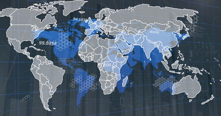 Image of network of connections over world map on black bacgroundfavorite_border favorite
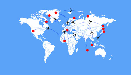 Dotted Direction Paths And Map Pointers Over World Map., Airplanes World Map, Vector illustrationfavorite_border favorite
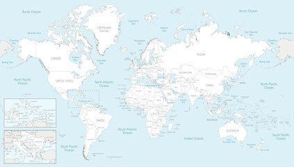 Highly detailed World Map vector illustration. Editable and clearly labeled layers.favorite_border favorite
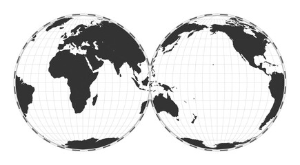 Vector world map in Mollweide projection, interrupted into two equal-area hemispheres. A plain geographical map with latitude and longitude lines, centered at 120 degrees W longitude.favorite_border favorite
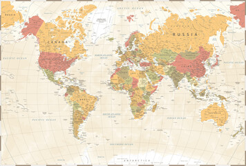 World Map - Vintage Political - Vector Detailed Illustrationfavorite_border favorite
 World Map. Detailed Contours. Line Stylefavorite_border favorite
 dookoła światafavorite_border favorite
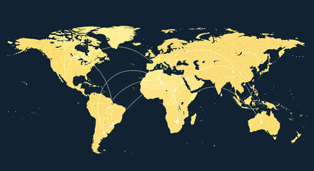 Global Connection Map: World Map with Connecting Lines and Arrowsfavorite_border favorite
 Minimal area topography spiral line white fabric textile background. landscape black line wireframe location diagram world map texture design.favorite_border favorite
 Minimal Flat World Map Vector illustration, Dark and Gray on White, world map design, easily editable and scalable.favorite_border favorite
 シンプルな世界地図のイラストfavorite_border favorite
 モザイク柄 世界地図 デジタル調favorite_border favorite
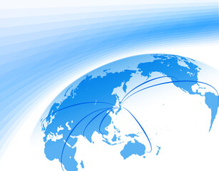 日本中心の世界地図からのビジネスイメージfavorite_border favorite
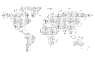 Maze map of the world, Vector illustrationfavorite_border favorite
 Isolated Continental Vector World Map.favorite_border favorite
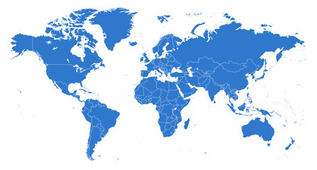 blue world mapfavorite_border favorite
 世界地図 簡略ドットイラスト IT、デジタルイメージ(青ドット、白背景)favorite_border favorite
 World Map Word Cloudfavorite_border favorite
 Realistic world map in globe shape on transparent background. Set of transparent globes of Earth.favorite_border favorite
 Outline World Map Vector, Global Continents, Political Borders, Blank Earth Illustrationfavorite_border favorite
 A 3d illustration of a red button featuring a global world map sphere showing the blue ocean and green land continents of Earth in a travel business icon conceptfavorite_border favorite
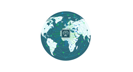 Global AI: World Map with Integrated Artificial Intelligence Microchip.favorite_border favorite
 grey world map vector illustrationfavorite_border favorite
 World map line connection design. Global network connection isolated white background. Vector Illustrationfavorite_border favorite
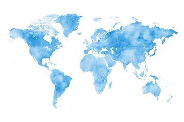 World Map Watercolor - Art Decorative Illustration of the World Map in Faded Blue Gray Colors - Ideally for Interior Printfavorite_border favorite
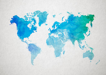 Map poster, travel map, world map print, wall art, home decor, map, drawn map inspiring, creative print, abstract decor, artistic world mapfavorite_border favorite
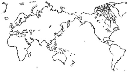 世界地図 毛筆イラスト 手描きfavorite_border favorite
 World Map With Network Connections Dark Blue Vector Illustrationfavorite_border favorite
 Minimal area topography spiral line white fabric textile background. landscape black line wireframe location diagram world map texture design.favorite_border favorite
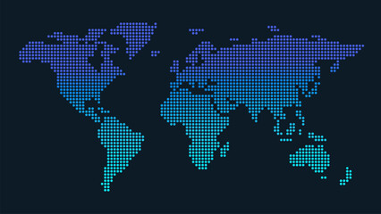 Vector stylish outline of world map. Colorful Flat design of continents, gradient mapfavorite_border favorite
 Global communication network concept.favorite_border favorite
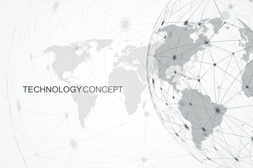 Global network connections with world map. Internet connection background. Abstract connection structure. Polygonal space background. Vector illustration.favorite_border favorite
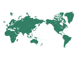 白バックの日本中心の世界地図favorite_border favorite
 World map with countries labeled flat vector illustrationfavorite_border favorite
 Professional workers and freelancers working together onlinefavorite_border favorite
 Weltkarte mit vernetzten Länderfavorite_border favorite
 Flying airplanes world map abstract vector background - flying white airplanes routes on blue background - Air travel conceptfavorite_border favorite
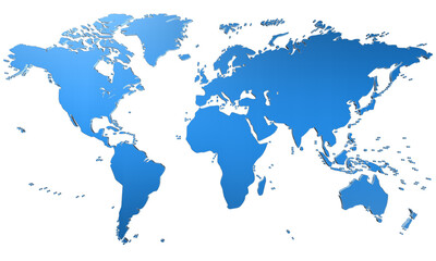 mapa świata - Ziemiafavorite_border favorite
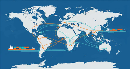 Global shipping routes and cargo vessels on a world map illustrationfavorite_border favorite
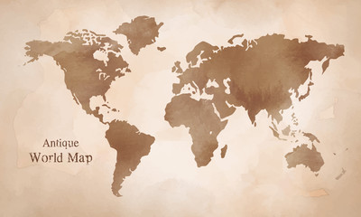 水彩 アンティーク世界地図 イラストfavorite_border favorite
 blaue weltkartefavorite_border favorite
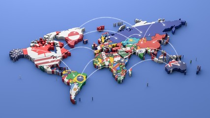 World map with all states and their flags,3d renderfavorite_border favorite
 Global Connection Lines. Network Data Transfer Over Earth. Futuristic AI Technology, 5G, Satellite Communication, Internet Connectivity, Big Data, Digital World Background Animation. Crypto Exchangefavorite_border favorite
 Pink World Map Outline and Solid Silhouette Illustrationfavorite_border favorite
 World map halftone. Made for world news and articles. Grey circles on white background.favorite_border favorite
 Vector map of the world with countries in the form of national flagsfavorite_border favorite
 Detailed World Map with Countries stock illustrationfavorite_border favorite
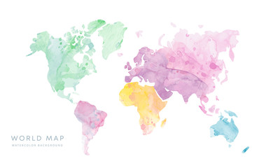 Vector hand drawn light grunge watercolor world map isolated on white backgroundfavorite_border favorite
 Minimal area topography spiral line white fabric textile background. landscape black line wireframe location diagram world map texture design.favorite_border favorite
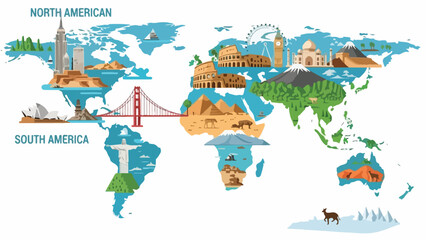 A stylized world map with iconic landmarks around the globefavorite_border favorite
 Abstract blue technology background featuring a digital world map with glowing light lines and motion waves for a futuristic communication network designfavorite_border favorite
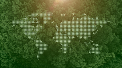 Green forests overlay world map for worlds environment days, Green eco ecosystem present backgroundfavorite_border favorite
 World map illustration featuring outlined continents in light gray over a dark background. Ideal for global, business, or educational stock applications.favorite_border favorite
 Elegant gold foil digital illustration of a world map. Luxurious and stylish design, perfect for prints, wallpapers, invitations, branding, and interior decor. High-quality minimalist artwork with a mfavorite_border favorite
 vector design of person holding camera for world photography day 3 epsfavorite_border favorite
 world map with geographical objects namesfavorite_border favorite
 industrial bannerfavorite_border favorite
 ぼこぼこしたテクスチャの世界地図favorite_border favorite
 Abstract blue background features a digital world map of white dots and lines, representing global network connections, technology, and communication.favorite_border favorite
 Glowing World Map: Global Network, Connection, and Technology Backgroundfavorite_border favorite
 Turkey and Kosovo maps on a global map vectorfavorite_border favorite
 水彩風の世界地図のイラストfavorite_border favorite
 Transporte urgente de mercancías por carretera. Camión, carretilla y furgonetas rojas con mapamundi rojo a la izquierda.favorite_border favorite
 Vector world map showing centralized global connections with curved lines originating from center and connecting to various continents connection business logistics communication internationalfavorite_border favorite
 Abstract Square Pixel 3D Globe Vector – Minimalist Blue Small Grid Pattern Curved World Map Illustration on White Backgroundfavorite_border favorite
 world vector map on a whitefavorite_border favorite
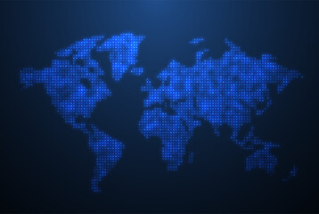 World map. Global network, pixel texture, earth background, abstract patternfavorite_border favorite
 Perspective view on screen texture with abstract global stats data on digital interface and world map on dark technological background, hud template. 3D renderingfavorite_border favorite
 Minimal area topography spiral line white fabric textile background. landscape black line wireframe location diagram world map texture design.favorite_border favorite
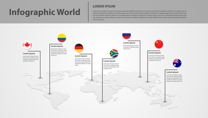 world map element infographic , infochart business information iconfavorite_border favorite
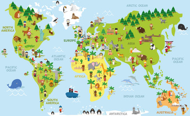 Funny cartoon world map with children of different nationalities, animals and monuments of all the continents and oceans. Vector illustration for preschool education and kids design.favorite_border favorite
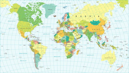 Colored World Map - borders, countries and cities - illustration Highly detailed colored vector illustration of world map.favorite_border favorite
 Chalk outline of a world map with a toy airplanefavorite_border favorite
 world map with state names vector illustrationfavorite_border favorite
 Transparent PNG available. Blank Detailed, topo. Topography and geography map grid abstract backdrop. wave Line. topographic wavy pattern design. World Map Vintage Old-Style. Rendering, 3d, white, artfavorite_border favorite
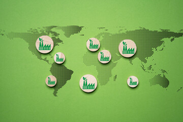 Green factory print screen on wooden block on world map and green background for green economy to reduce carbon dioxide emission from Kyoto protocol within 2050 ,Sustainability environment concept.favorite_border favorite
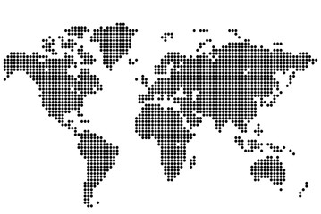 Абстрактный фон. Карта мира круглыми точками. Векторная иллюстрация.favorite_border favorite
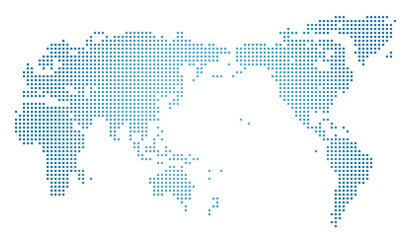 世界地図・ドット素材・四角ドットfavorite_border favorite
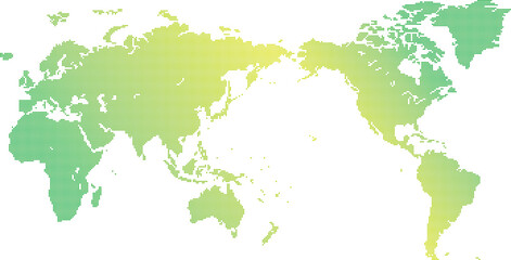 ドット世界地図素材favorite_border favorite
 Tło z mapą światafavorite_border favorite
 Global travel icons set with airplane flying around earth globe world map silhouettes for international flight logistics and tourism industry brandingfavorite_border favorite
 white topography map geography relief diagram texture design. Topography white background and black line world map texture design. Lines Topographic contour lines grid map seamless pattern.favorite_border favorite
 world map continents outline drawingfavorite_border favorite
 Simple black and white world map silhouette showing continents and global locationsfavorite_border favorite
 world map icon, world map silhouette vector illustration-simple silhouette illustration of world map, perfect for world map logos and iconsfavorite_border favorite
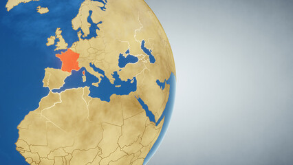 Earth globe with country of France highlighted in red. 3D illustration. Elements of this image furnished by NASAfavorite_border favorite
 Colleagues in office looking at world mapfavorite_border favorite
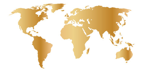 gold world mapfavorite_border favorite
 Minimal area topography spiral line white fabric textile background. landscape black line wireframe location diagram world map texture design.favorite_border favorite
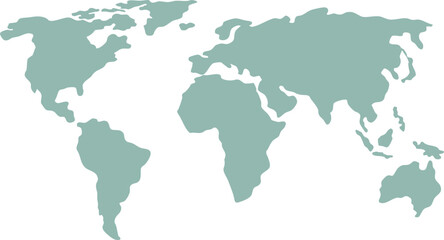 Simplified vector illustration of world mapfavorite_border favorite
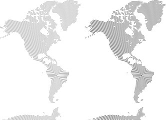 Realistic round shape and dotted map silhouette of north America and south America. Round line shape dotted north America and south America of world map.favorite_border favorite